
Pretschen, district of Märkische Heide
Location: Märkische Heide
Elevation above the sea: 45 m
Part of: Sorbian settlement area
GPS coordinates: 52.09060,13.99140
Latest update: April 26, 2025 08:06

Schloss Kossenblatt
6.1 km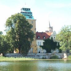
Schloss Groß Leuthen
6.9 km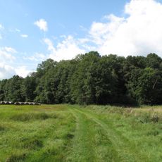
Räuberberg (Görsdorf)
7.8 km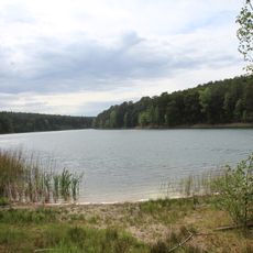
Milaseen
7.3 km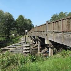
Spreebrücke Werder
3.6 km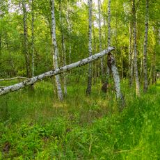
Kockot
6.7 km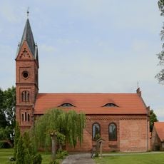
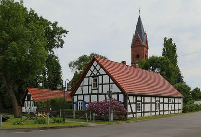
Dorfkirche Pretschen
23 m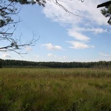
Teufelsluch
5.8 km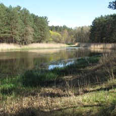
Reichardtsluch
8.6 km
Dorfkirche Neu Schadow
4.4 km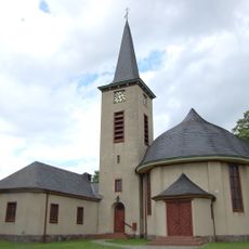
Dorfkirche
6.9 km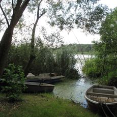
Schwenower Forst
4.9 km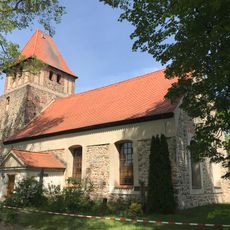
Village church Krugau
7.1 km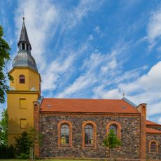
Dorfkirche
6.7 km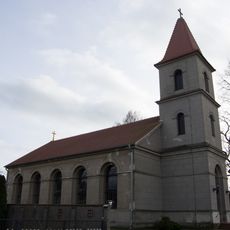
Dorfkirche Kuschkow
4 km
Schwarzer Kater (Tauche)
8.8 km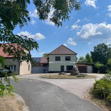
Vorwerk Amalienhof
4 km
Brasinski-Luch
5.8 km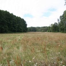
Dollgener Grund
8.2 km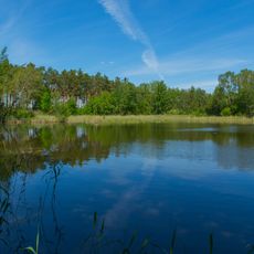
Dürrenhofer Moor
6.6 km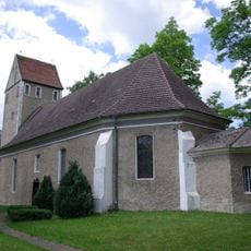
Village church Kossenblatt
6.2 km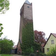
Kehrigk Water Tower
9.2 km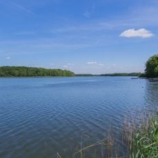
Groß-Leuthener See und Dollgen See
8.4 km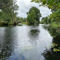
Krumme Spree
6.2 km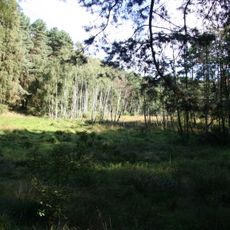
Teufelsluch
6.2 km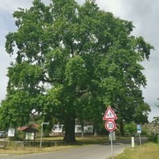
Naturdenkmal Friedenseiche auf dem Dorfanger
7.9 km
Schwenower Forst Ergänzung
8.7 km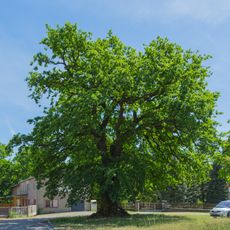
Eiche an der Schlossstraße
6.7 kmReviews
Visited this place? Tap the stars to rate it and share your experience / photos with the community! Try now! You can cancel it anytime.
Discover hidden gems everywhere you go!
From secret cafés to breathtaking viewpoints, skip the crowded tourist spots and find places that match your style. Our app makes it easy with voice search, smart filtering, route optimization, and insider tips from travelers worldwide. Download now for the complete mobile experience.

A unique approach to discovering new places❞
— Le Figaro
All the places worth exploring❞
— France Info
A tailor-made excursion in just a few clicks❞
— 20 Minutes