
Rath, city district of Düsseldorf, Germany
Location: District 6 (Düsseldorf)
GPS coordinates: 51.26610,6.81417
Latest update: March 3, 2025 02:54

PSD Bank Dome
679 m
Zoologischer Garten Düsseldorf
2.8 km
Arag-Tower
2 km
Wildpark im Grafenberger Wald
2.7 km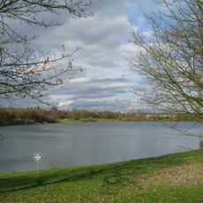
Grüner See
2.2 km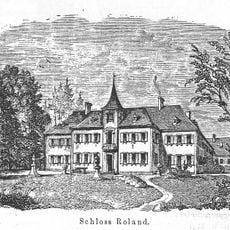
Haus Roland
2.6 km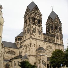
St. Josef
733 m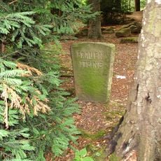
Frauensteine
1.3 km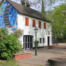
Buscher Mühle
2.7 km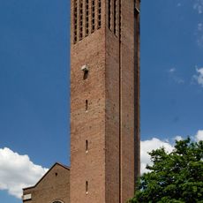
St. Franziskus Xaverius
1.8 km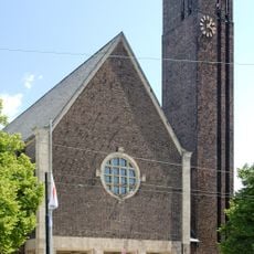
St. Bruno
2.7 km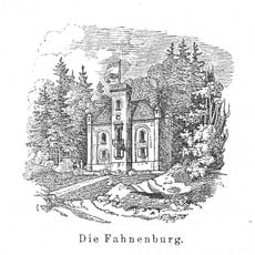
Fahnenburg
1.9 km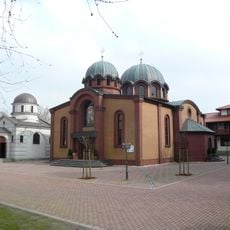
Црква Светог Саве у Диселдорфу
2.4 km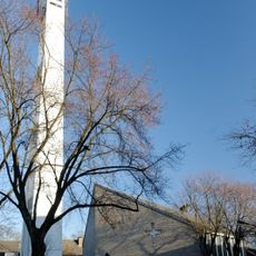
Petruskirche
2.3 km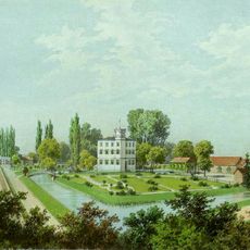
Volkardey Manor
2 km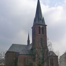
St. Maria unter dem Kreuz
1.8 km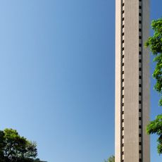
Holy-Cross-Church
594 m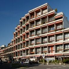
Münsterpark
2.9 km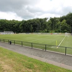
Rather Waldstadion
933 m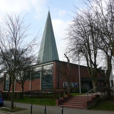
St. Maria Königin (Düsseldorf)
2.5 km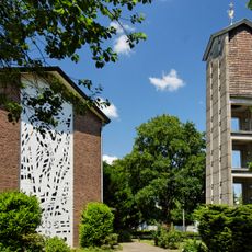
Lukaskirche
2.6 km
Haus Neiser
2.7 km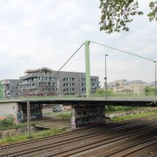
Brücke Jülicher Straße
2.8 km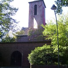
Trinitatiskirche
983 m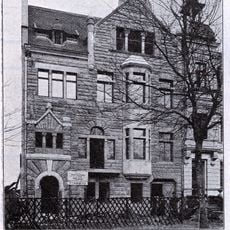
Ahnfeldstraße 107
2.8 km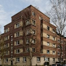
Windscheidstraße 25–31 / Harleßstraße
2.6 km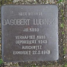
Stolperstein dedicated to Dagobert Lubinski
1 km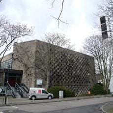
Thomaskirche
2 kmVisited this place? Tap the stars to rate it and share your experience / photos with the community! Try now! You can cancel it anytime.
Discover hidden gems everywhere you go!
From secret cafés to breathtaking viewpoints, skip the crowded tourist spots and find places that match your style. Our app makes it easy with voice search, smart filtering, route optimization, and insider tips from travelers worldwide. Download now for the complete mobile experience.

A unique approach to discovering new places❞
— Le Figaro
All the places worth exploring❞
— France Info
A tailor-made excursion in just a few clicks❞
— 20 Minutes