
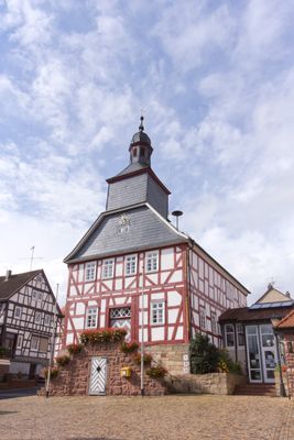
Rathaus Kirtorf, Rathaus in Deutschland
Location: Kirtorf
Address: Neustädter Straße 10
GPS coordinates: 50.76910,9.10657
Latest update: March 7, 2025 22:05
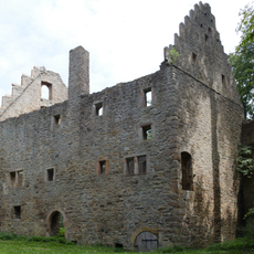
Lehrbach Castle
3.7 km
Burg Schmitthof
5.4 km
Burg Waffensand
4.9 km
Burg Forst
6.6 km
Burghügel Ruhlkirchen
6.1 km
St. Michael
6.2 km
Jüdischer Friedhof Angenrod
6.8 km
Evangelische Kirche (Billertshausen)
6.9 km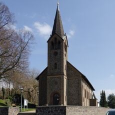
Heilige Familie
5 km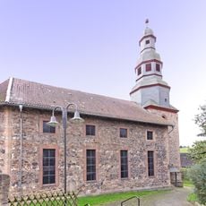
Stadtkirche Kirtorf
191 m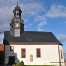
Evangelical church in Gleimenhain
6.3 km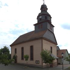
Ober-Gleen Evangelical Church
2.2 km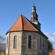
Evangelical Church in Wahlen
4.6 km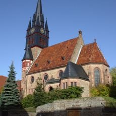
Church in Lehrbach
3.6 km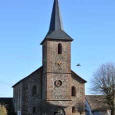
Evangelical church in Arnshain
5.6 km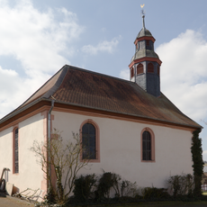
Evangelical church in Heimertshausen
4.9 km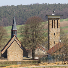
Katholische Kirche zum Heiligen Kreuz
6.6 km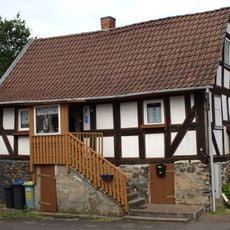
Tagelöhnerhaus
7 km
Herrenwald östlich Stadtallendorf
5.2 km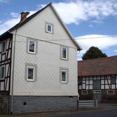
Angenröder Straße 1
6.9 km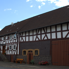
Angenröder Straße 2
6.9 km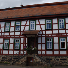
Heimertshäuser Straße 1
6.9 km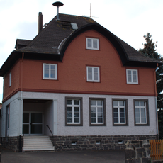
Angenröder Straße 16
6.7 km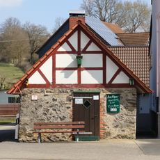
Bakehouse in Heimertshausen
4.8 km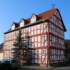
'Doktorhaus'
142 m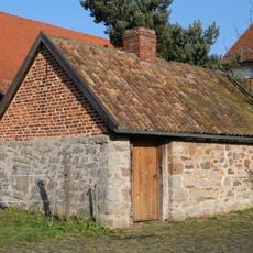
Backhaus
195 m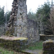
Folkertshain church stump
4 km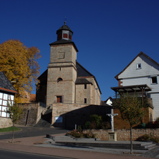
Sommerlinde vor dem Kirchenportal von Ruhlkirchen
6.2 kmVisited this place? Tap the stars to rate it and share your experience / photos with the community! Try now! You can cancel it anytime.
Discover hidden gems everywhere you go!
From secret cafés to breathtaking viewpoints, skip the crowded tourist spots and find places that match your style. Our app makes it easy with voice search, smart filtering, route optimization, and insider tips from travelers worldwide. Download now for the complete mobile experience.

A unique approach to discovering new places❞
— Le Figaro
All the places worth exploring❞
— France Info
A tailor-made excursion in just a few clicks❞
— 20 Minutes