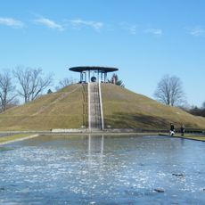
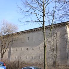
Radaranlage Marienfelde, Cold War radar station in Marienfelde, Germany
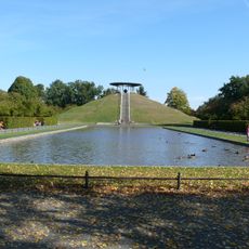
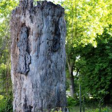
Radaranlage Marienfelde is a former military surveillance facility built on elevated ground in the Marienfelde district of Berlin. The site holds several structures that were used for monitoring operations during the Cold War and is now accessible as open green space.
The United States Air Force built this facility between 1962 and 1965 as a surveillance post during the Cold War. After the Berlin Wall fell, military operations wound down and the site was officially deactivated in 1991.
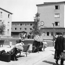
Locals call this site 'Amiberg', a nickname that points directly to the American military presence that once defined this corner of Marienfelde. Walking through the area today, visitors can still see remnants of the original structures and get a sense of how enclosed and separate this place once was from the surrounding neighborhood.
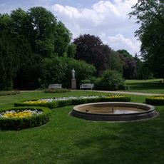
The site is open to the public and can be explored on foot, with information boards placed around the area to explain its history. It is worth wearing sturdy shoes as the terrain can be uneven in places.
A US soldier stationed at this facility secretly passed information to East German intelligence services while continuing his regular duties. His double life went undetected for years, showing how the Cold War played out even inside the most controlled spaces.
The community of curious travelers
AroundUs brings together thousands of curated places, local tips, and hidden gems, enriched daily by 60,000 contributors worldwide.