
Ringen, human settlement in Germany
Location: Grafschaft
Elevation above the sea: 190 m
GPS coordinates: 50.57190,7.09657
Latest update: March 18, 2025 16:24
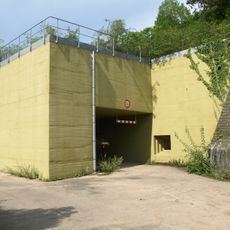
Government bunker
3.6 km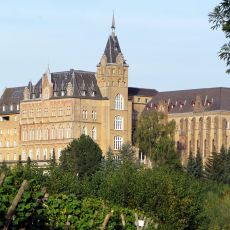
Ursulines of Calvarienberg
4.1 km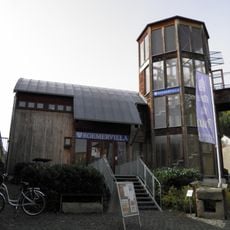
Römervilla von Bad Neuenahr-Ahrweiler
3.8 km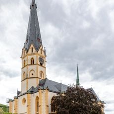
St. Laurentius
3.3 km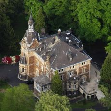
Schloss Vettelhoven
2.7 km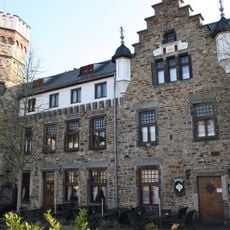
Burg Adenbach
3.2 km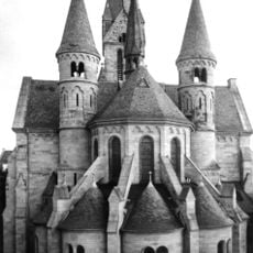
Rosenkranzkirche
4.1 km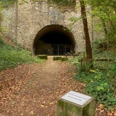
Gedenkstätte Silberbergtunnel
3 km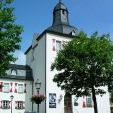
Weißer Turm
3.4 km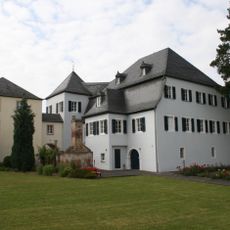
Burg Lantershofen
2 km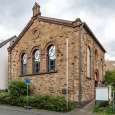
Synagoge Ahrweiler
3.4 km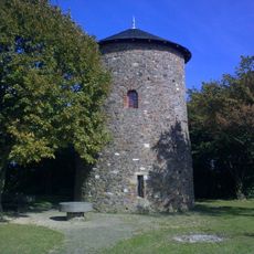
Fritzdorfer Windmühle
1.7 km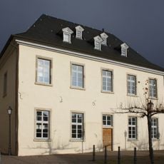
Blankartshof
3.4 km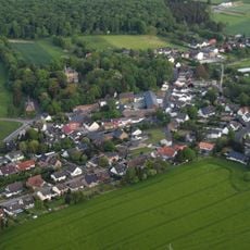
Burg Vettelhoven
2.8 km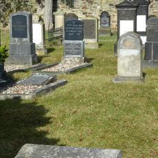
Jüdischer Friedhof Ahrweiler
3.4 km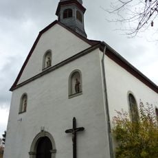
Antoniuskapelle
4.2 km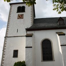
St. Georg
2.7 km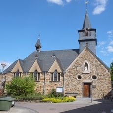
Annakapelle Bachem
3.7 km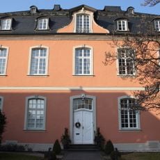
Pfarrhaus (Ahrweiler)
3.3 km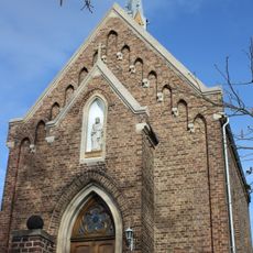
St. Joseph (Beller)
754 m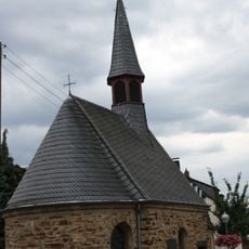
St. Leonardus
3.7 km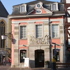
Stadtwache
3.3 km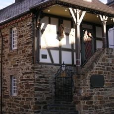
Weinmuseum Bachem
3.7 km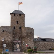
Ahrtor
3.5 km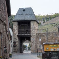
Adenbachtor
3.2 km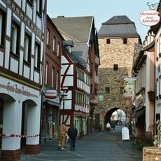
Niedertor
3.1 km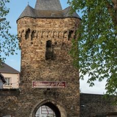
Obertor
3.5 km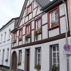
Oberhutstraße 20
3.4 kmVisited this place? Tap the stars to rate it and share your experience / photos with the community! Try now! You can cancel it anytime.
Discover hidden gems everywhere you go!
From secret cafés to breathtaking viewpoints, skip the crowded tourist spots and find places that match your style. Our app makes it easy with voice search, smart filtering, route optimization, and insider tips from travelers worldwide. Download now for the complete mobile experience.

A unique approach to discovering new places❞
— Le Figaro
All the places worth exploring❞
— France Info
A tailor-made excursion in just a few clicks❞
— 20 Minutes