Ringwall Rittershausen, château fort allemand
The Ringwall Rittershausen is an ancient fortified settlement built on a hill called Hohen Lay near the village of Rittershausen. The structure consisted of three earthen mounds with ditches in front, constructed from wood and stone, with only low ridges and shallow trenches remaining visible in the landscape today.
The site was built during the early La Tène period around 450 before Christ and is therefore more than 2000 years old. It was destroyed by the 3rd century before Christ and was never rebuilt, marking the end of this settlement.
The objects found at the site show that residents crafted bronze jewelry including rings, necklaces, and earrings with skill and care. These handmade items reveal details about the daily practices and technical abilities of the people who lived here during that era.
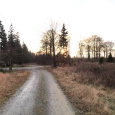
The site is difficult to access and the surrounding terrain is challenging, but simple paths lead near the old earthworks where visitors can walk. Respect the protected area as it is part of cultural heritage, and allow time to take in the gentle rolling hills and quiet surroundings.
Excavations between 1911 and 1913 uncovered iron tools, weapons, pottery, and jewelry that revealed how people lived more than 2000 years ago. The original excavation records were unfortunately lost, so experts continue studying the artifacts to piece together new details about the early residents.
The community of curious travelers
AroundUs brings together thousands of curated places, local tips, and hidden gems, enriched daily by 60,000 contributors worldwide.