
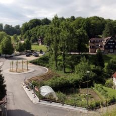
Seidenbach, municipal district of Fürth in Kreis Bergstraße, Germany
Location: Fürth
Elevation above the sea: 355 m
GPS coordinates: 49.67250,8.73138
Latest update: May 13, 2025 16:46
Odenwaldschule
3.3 km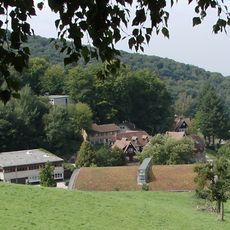
Ober-Hambach
3.3 km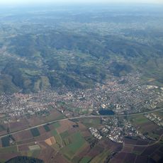
Krehberg
1.3 km
Naturschutzgebiet Schannenbacher Moor
1.7 km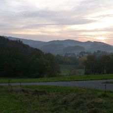
Knörschhügel
2.6 km
Protestant Church
2.6 km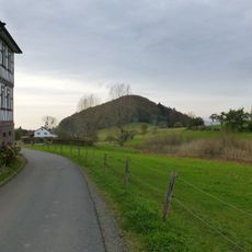
Knodener Kopf
3.1 km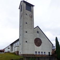
St. Wendelinus
3.1 km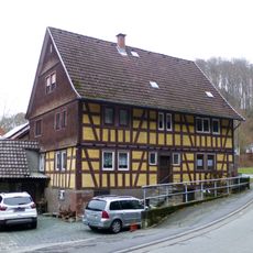
Obere Mühle
1.9 km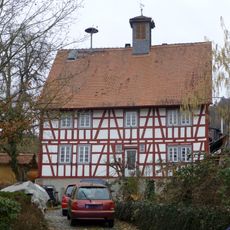
Alte Schule
2.1 km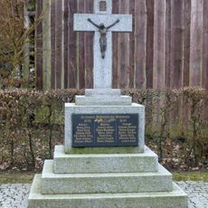
Gefallenen-Ehrenmal
3.4 km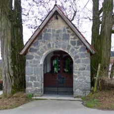
Wegekapelle
2.9 km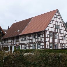
Herberts-Hube
2.1 km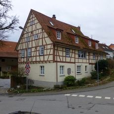
Hammersteins-Hube, Wappenhof
2.1 km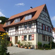
Haus Paul-Geheeb-Straße 26
3.1 km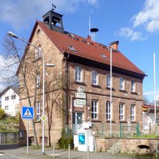
Schule
2.8 km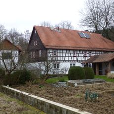
Hartmanns-Hube
2.1 km
Ehem. Mühle
3.4 km
Gronauer Bach mit Hummelscheid und Schannenbacher Moor
2.6 km
Gasthaus 'Steinschlößchen'
1.1 km
Haus Am Pfalzbach 33
2 km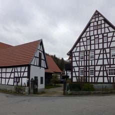
Haus Hauptstraße 10
3.4 km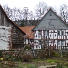
Untere Mühle
2.1 km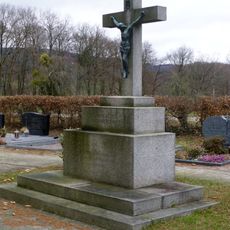
Friedhofskreuz
2.8 km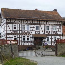
Guldenklinger Hof
2.9 km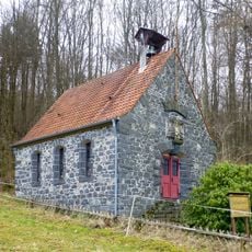
Schutzengel-Kapelle
1.7 km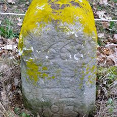
Grenzstein
2.7 km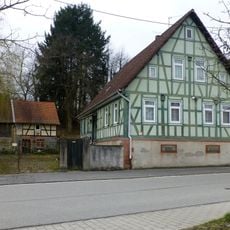
Haus Am Pfalzbach 4Am Pfalzbach 2Am Pfalzbach
2.3 kmReviews
Visited this place? Tap the stars to rate it and share your experience / photos with the community! Try now! You can cancel it anytime.
Discover hidden gems everywhere you go!
From secret cafés to breathtaking viewpoints, skip the crowded tourist spots and find places that match your style. Our app makes it easy with voice search, smart filtering, route optimization, and insider tips from travelers worldwide. Download now for the complete mobile experience.

A unique approach to discovering new places❞
— Le Figaro
All the places worth exploring❞
— France Info
A tailor-made excursion in just a few clicks❞
— 20 Minutes