Enable Location

We need your location to show you interesting places around you

Discover nearby places

Find interesting locations and hidden gems around you

Precise directions

Get accurate directions and distances to places

Your location is never shared with other users. It's only used when you tap the location button.

Tote Täler

Log in to your account

Start exploring — it's free

Trusted by 62,829 travelers worldwide

Continue with Google
Continue with Apple
or

We will send you a code to connect

By continuing, you accept our Terms and Conditions and our Privacy Policy

Check your inbox

We've sent a pincode in your inbox. Please enter the code below.

Tote Täler

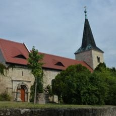
Tote Täler, Protected area in Balgstädt, Germany

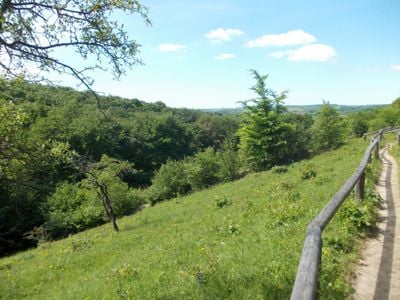
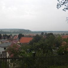
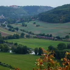
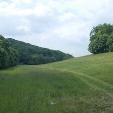
Tote Täler is a protected area between Balgstädt, Naumburg, and Freyburg featuring valleys, meadows, forests, and rolling hills as the main landscape forms. The region contains diverse habitats for plants and animals that make the area ecologically valuable.

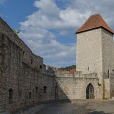
The valleys received their name from an invasion by Hungarian troops in the 10th century, which triggered conflicts in the region. This event shaped how the landscape was perceived and named for generations afterward.

Orchids shape the character of this natural landscape, especially during springtime blooming when researchers and nature enthusiasts observe the rare species. The variety of flower shapes and colors makes the valleys an important place for learning about plants.

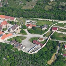
The region is accessible from several villages including Grössnitz, Großwilsdorf, and Nissmitz, with marked parking areas nearby. Trail maps and orientation guides help visitors explore the terrain comfortably.

Wild horses and goats maintain the grasslands through natural grazing and support the orchid populations. These animals play an invisible but crucial role in preserving the habitat of rare plants.

The community of curious travelers

AroundUs brings together thousands of curated places, local tips, and hidden gems, enriched daily by 60,000 contributors worldwide.

Start exploring
Location
Location
Location
Inception
1995
GPS coordinates
51.19320,11.74260
Latest update
December 11, 2025 11:03
« Tote Täler - Protected area in Balgstädt, Germany » is provided by Around Us (aroundus.com). Images and texts are derived from Wikimedia project under a Creative Commons license. You are allowed to copy, distribute, and modify copies of this page, under the conditions set by the license, as long as this note is clearly visible.

Discover hidden gems everywhere you go!

From secret cafés to breathtaking viewpoints, skip the crowded tourist spots and find places that match your style. Our app makes it easy with voice search, smart filtering, route optimization, and insider tips from travelers worldwide. Download now for the complete mobile experience.

Around Us App Screenshot

A unique approach to discovering new places

Le Figaro

All the places worth exploring

France Info

A tailor-made excursion in just a few clicks

20 Minutes

Around Us
Travel Guide & Maps
Download

Send to your phone

QR Code
1

Open the camera app on your mobile.

2

Point at the QR code with your camera. A notification will appear.

3

Tap the notification to open the link.