Totenberg, Protected forest hill in Göttingen district, Germany.
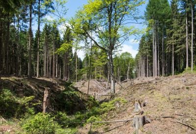
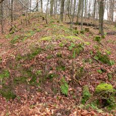
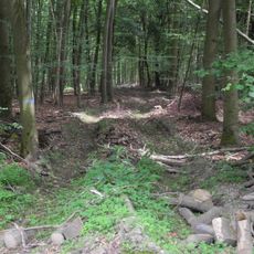
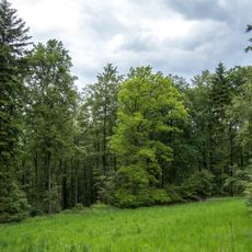
Totenberg is a protected forest hill in the Göttingen district that rises to 408 meters above sea level and forms the highest point of the Bramwald range in Lower Saxony. The nature reserve covers 437 hectares with extensive natural forest areas and sections where visitor access is limited to protect the ecosystem.
The forest area received special protection during the time of Charlemagne, who designated it as a restricted imperial forest and denied local people usage rights. This status shaped how the land was used for many centuries afterward.
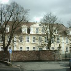
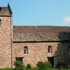
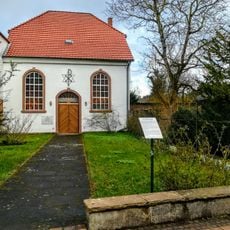
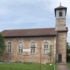
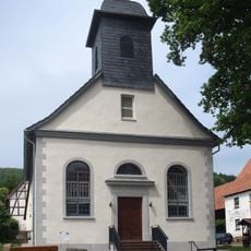
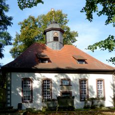
The two half-timbered houses called Totenberghäuschen on the northern slope show how people once lived and worked within this forest for generations. They represent the long relationship between the forest guardians and the landscape around them.
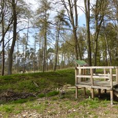
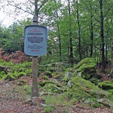
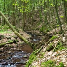
Wearing sturdy footwear is advisable since forest paths can become slippery depending on weather conditions. The reserve welcomes visitors throughout the year, but some areas remain closed to protect wildlife and sensitive habitats.
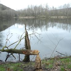
The Wolfsschlucht gorge gained attention in 2003 when a female wolf passed through the area, marking a rare return of the species after its long absence from the region. This sighting sparked considerable interest among wildlife observers and locals alike.
The community of curious travelers
AroundUs brings together thousands of curated places, local tips, and hidden gems, enriched daily by 60,000 contributors worldwide.