Staufenberg, Mountain summit in Hesse, Germany
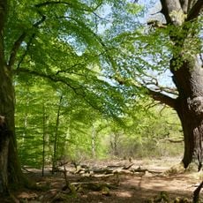
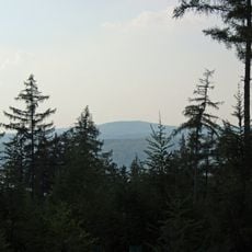
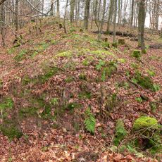
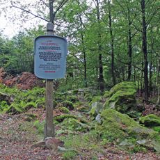
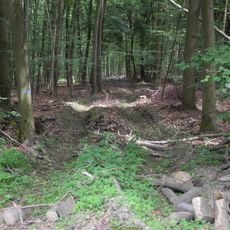
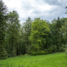
Staufenberg is a mountain summit in the Reinhardswald range that rises prominently above the surrounding forest landscape. Its slopes are densely covered with trees, and natural rock formations are visible throughout the terrain.
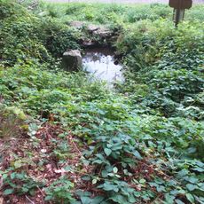
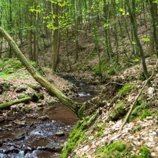
The sources record no fortification or medieval structure on the Staufenberg; the 13th-century claim is unsupported. The summit's documented role is hydrographic: a section of the Diemel-Weser watershed runs over it. Streams rising on its western slope, such as the Holzape, reach the Weser via the Diemel, while short eastern streams like the Tiefenbach flow directly into the Weser a few kilometres away.
The name Staufenberg refers to the mountain's cone-like shape, from the German Stauf for a conical vessel. On its northwestern slope lies Germany's first Friedwald, a burial forest where urns are interred at the roots of trees; the Kleiner Staufenberg (421 m) is its southern spur.
The summit lies about 3.5 km northwest of Veckerhagen and 7.5 km east of Hombressen, both measured in a straight line. The wooded top is crossed by the Diemel-Weser watershed, so streams on the west slope, such as the Holzape, drain toward the Diemel, while short eastern streams like the Tiefenbach reach the Weser directly. The Kleiner Staufenberg (421 m) forms the southern spur, and Germany's first Friedwald burial forest lies just northwest of the summit.
The Staufenberg lies on the Diemel–Weser watershed: streams on its western slope, such as the Holzape, reach the Weser via the Diemel, while short eastern streams like the Tiefenbach flow directly into the Weser a few kilometres away. The first German Friedwald, a burial forest, lies just northwest of the summit.
The community of curious travelers
AroundUs brings together thousands of curated places, local tips, and hidden gems, enriched daily by 94,130 contributors worldwide.