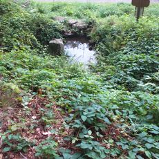
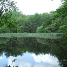
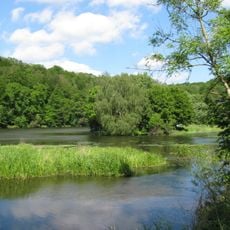
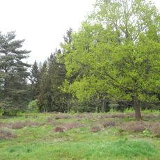
Gahrenberg, Mountain summit in Reinhardswald, Hesse, Germany
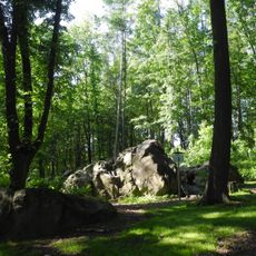
Gahrenberg is a mountain summit in Hesse that rises to 472 meters and is covered in forest. The slopes feature mixed woodlands that change character as you move up the elevation.
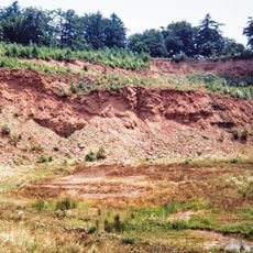
Lignite was mined under the northern part of the Gahrenberg from 1842, when a borehole struck coal. The Gahrenberg I–III fields were granted between 1891 and 1909, and the Zeche Gahrenberg was worked through adits until it closed in 1970, when the tunnels were backfilled and the surface buildings demolished. In the south, the Zeche Wilhelmshausen extracted coal from 1898 to 1922, with a peak of 49,512 tonnes in 1920.
The hill gave its name to the Zeche Gahrenberg, a lignite mine worked underground from 1842 until 1970. Its coal went mainly to Habich's Söhne in Veckerhagen, and weathered near-surface lignite was dug as "Farbkohle" and ground into the pigment Kasseler Braun. The shafts are filled and the surface buildings demolished.
The summit is reached via several marked hiking paths that start from nearby parking areas. Most trails are well signposted and offer different difficulty levels.
The hill is a Tertiary basalt outcrop rising above the otherwise flat Reinhardswald plateau. Brown coal lay beneath it: the Gahrenberg mine operated from 1842 until 1970, and its adits were later backfilled. Weathered surface coal was also dug as pigment and processed by Habich into the paint shade "Kasseler Braun".
The community of curious travelers
AroundUs brings together thousands of curated places, local tips, and hidden gems, enriched daily by 94,528 contributors worldwide.