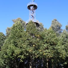
Ungerberg, Mountain summit in Neustadt, Germany
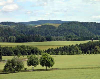
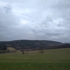
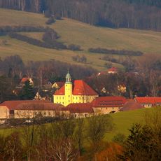
Ungerberg is a mountain summit in Saxony that rises 537 meters (1,762 feet) above sea level. From the top, visitors can see across the forested landscape of the Sächsische Schweiz-Osterzgebirge region.
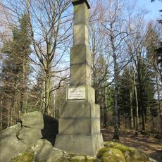
The mountain has served as a geographical landmark since medieval times for people living in the surrounding Saxon territories. Its prominent location made it a natural reference point between different historical regions.
The mountain hut serves as a gathering place where hikers and locals meet to share stories and rest. This reflects the deep tradition of hill walking that has shaped life in this region for generations.
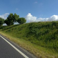
Multiple marked trails lead to the summit from the valley below, with the eastern route offering the gentlest climb for less experienced walkers. Signs at junction points help visitors stay on course and choose their preferred path.
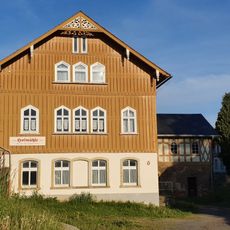
The summit is accompanied by a working mountain hut situated just steps away from the highest point. This small shelter draws hikers who stop to rest and connect with others passing through.
The community of curious travelers
AroundUs brings together thousands of curated places, local tips, and hidden gems, enriched daily by 60,000 contributors worldwide.