
Uevekoven, human settlement in Germany
Location: Wegberg
Elevation above the sea: 73 m
Shares border with: Gerichhausen
GPS coordinates: 51.12440,6.28944
Latest update: March 5, 2025 22:37
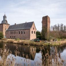
Schloss Tüschenbroich
1.9 km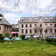
Burg Wegberg
2.3 km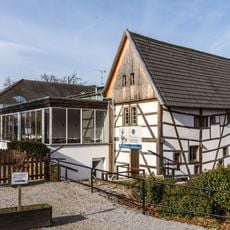
Kornmühle Wegberg-Tüschenbroich
1.7 km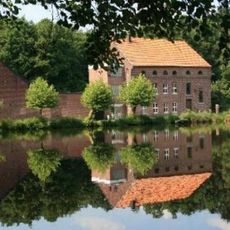
Buschmühle Wegberg-Busch
3.4 km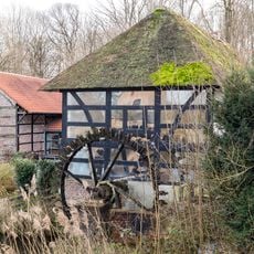
Ölmühle Wegberg-Tüschenbroich
1.9 km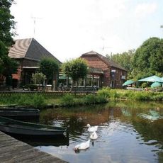
Holtmühle Wegberg-Holtmühle
3.2 km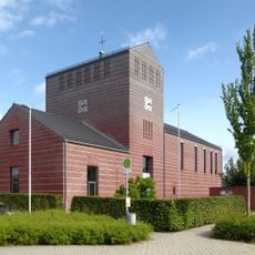
Saint Martin Chapel
4.3 km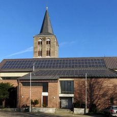
St. Vincentius (Wegberg-Beeck)
1.5 km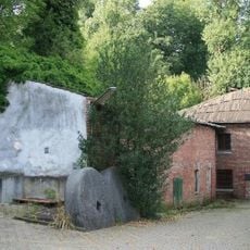
Bischofsmühle Wegberg-Watern
1.6 km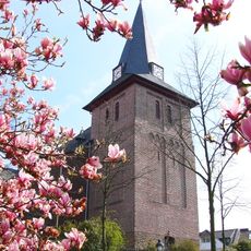
St. Peter und Paul (Wegberg)
2 km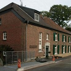
Bockenmühle Wegberg-Watern
1.6 km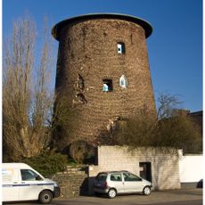
Schriefersmühle
3.8 km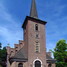
St. Rochus (Rath-Anhoven)
3.6 km
Burg Wegberg
2.3 km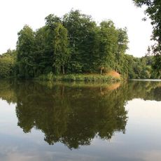
Schwalmbruch, Mühlenbach- und Knippertzbachtal
4.6 km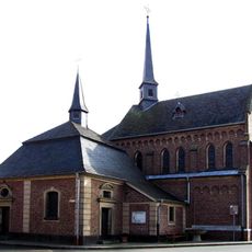
Mariä Heimsuchung (Holtum)
1 km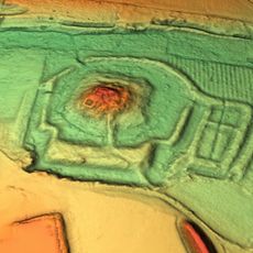
Motte Gripekoven
3.4 km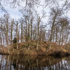
Motte Tüschenbroich
1.7 km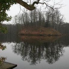
Tüschenbroicher Wald
1.7 km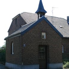
Kapelle St. Bernhard
3.8 km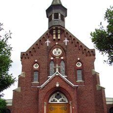
Holy Trinity Church
4.3 km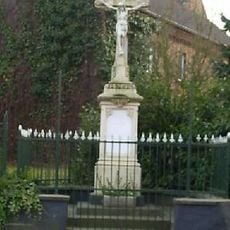
Wegekreuz Beeck
4 km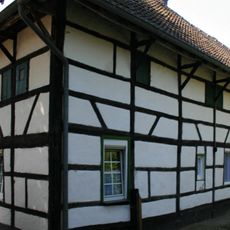
Merreter 51
3.7 km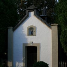
Josefskapelle
4.4 km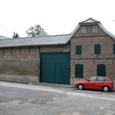
Zur Mühle 2
4.7 km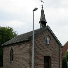
Kapelle Genholland
4.5 km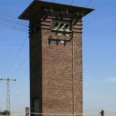
Transformatorenhaus Am Merreter Weg
3.7 km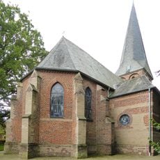
Protestant Church
2.6 kmReviews
Visited this place? Tap the stars to rate it and share your experience / photos with the community! Try now! You can cancel it anytime.
Discover hidden gems everywhere you go!
From secret cafés to breathtaking viewpoints, skip the crowded tourist spots and find places that match your style. Our app makes it easy with voice search, smart filtering, route optimization, and insider tips from travelers worldwide. Download now for the complete mobile experience.

A unique approach to discovering new places❞
— Le Figaro
All the places worth exploring❞
— France Info
A tailor-made excursion in just a few clicks❞
— 20 Minutes