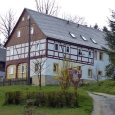
Wachberg, Mountain summit in Sebnitz, Germany.
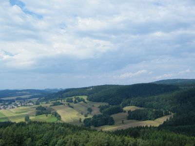
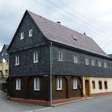
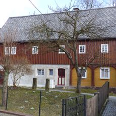
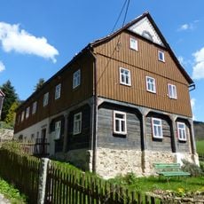
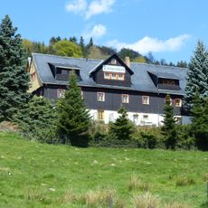
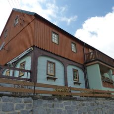
Wachberg is a 496-meter summit in Sebnitz located within Saxon Switzerland National Park, surrounded by dense coniferous and deciduous forest. Well-marked trails with varying difficulty levels cross the mountainside, connecting different entry points and nearby villages.
The hiking paths around Wachberg developed during the 19th century as part of a regional network connecting towns in Saxon Switzerland. These routes grew out of the practical need to link remote mountain communities across the forested terrain.
The mountain serves as a gathering point where locals and visitors experience expansive views across the forested landscape and surrounding rock formations. The elevated vantage point offers a direct connection to how people relate to the natural contours of Saxon Switzerland.
Multiple trailheads near Sebnitz provide clear access to Wachberg with parking areas nearby and easy-to-spot trail markers indicating difficulty levels. Plan to start early, as the forest can be dense and shade limits daylight even during longer daylight hours.
The hiking circuit passing through Wachberg comes close to the Czech border, requiring hikers to carry identification on certain sections of the trail. This proximity reveals how the mountain terrain straddles national boundaries in a way that becomes apparent only when walking the paths.
The community of curious travelers
AroundUs brings together thousands of curated places, local tips, and hidden gems, enriched daily by 60,000 contributors worldwide.