
Arnsgrün, human settlement in Germany
Location: Zeulenroda-Triebes
Elevation above the sea: 430 m
GPS coordinates: 50.58000,12.07030
Latest update: March 3, 2025 10:14
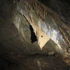
Drachenhöhle Syrau
4.3 km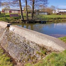
Talsperre Oberpirk
5.5 km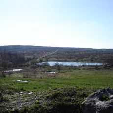
Syrau-Kauschwitzer Heide
5.4 km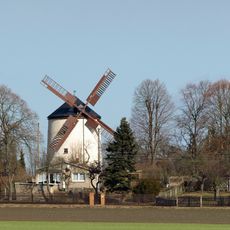
Syrauer Holländermühle
3.7 km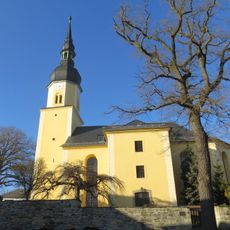
Dorfkirche Hohndorf
5.9 km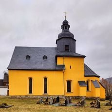
Church in Dobia
3.3 km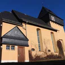
St. Nikolaus (Pöllwitz)
5.5 km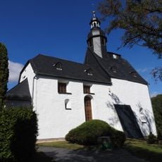
Church in Bernsgrün
2.4 km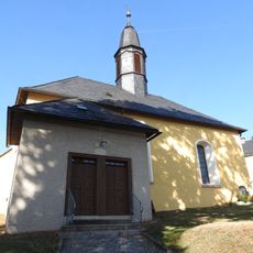
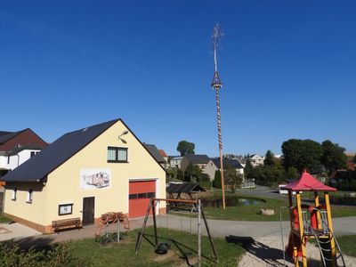
Church in Arnsgrün
243 m
Dorfkirche Schönbach
3.6 km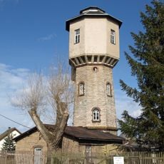
Wasserturm Syrau
4.3 km
Kirche Ortsstraße
1.9 km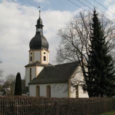
Dorfkirche
6 km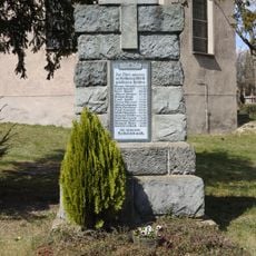
War memorial Schönbach
3.8 km
Kirche und Kriegergedächtnisstätte Obere Kirchstraße
5.4 km
Friedensstraße 2 (Oberpirk)
4.8 km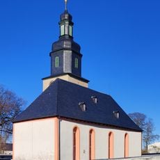
Kirche Ebersgrün
4 km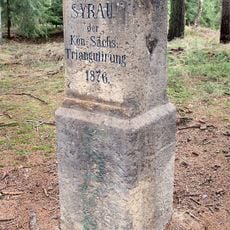
Station 154 Syrau
5 km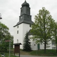
Dorfkirche Steinsdorf
4.8 km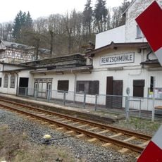
Bahnhof Rentzschmühle
6.2 km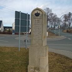
Kgl.-sächs. Postmeilenstein Mehltheuer
4.4 km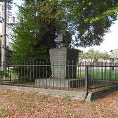
War memorial Wolfshain (Zeulenroda-Triebes)
2.7 km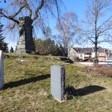
War memorial Cossengrün
5.4 km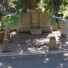
War memorial Arnsgrün (Zeulenroda-Triebes)
208 m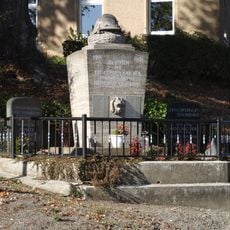
War memorial Hohndorf (Greiz)
5.9 km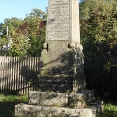
War memorial Dobia
3.3 km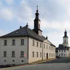
Ehemaliges Rathaus Obere Kirchstraße 1
5.3 km
Postamt Schleizer Straße 12
4.6 kmReviews
Visited this place? Tap the stars to rate it and share your experience / photos with the community! Try now! You can cancel it anytime.
Discover hidden gems everywhere you go!
From secret cafés to breathtaking viewpoints, skip the crowded tourist spots and find places that match your style. Our app makes it easy with voice search, smart filtering, route optimization, and insider tips from travelers worldwide. Download now for the complete mobile experience.

A unique approach to discovering new places❞
— Le Figaro
All the places worth exploring❞
— France Info
A tailor-made excursion in just a few clicks❞
— 20 Minutes