Zeulenroda-Triebes, municipality in Germany
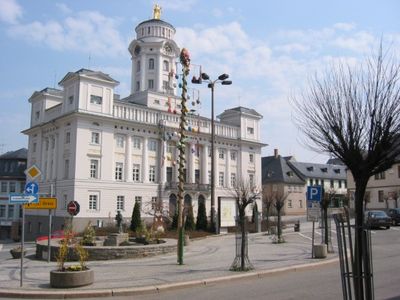
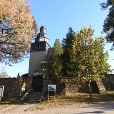
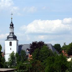
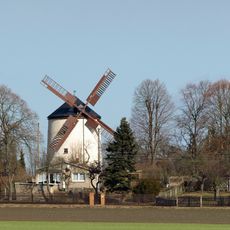
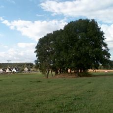
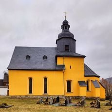
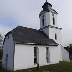
Zeulenroda-Triebes is a small town in the southern part of Greiz district in Thuringia, situated among the Thuringian Slate Mountains and bordered by Saxony. The town features tree-lined streets, traditional buildings, and quiet neighborhoods with open green spaces spread across the area.
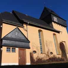
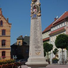
The town was first documented in 1325 as Zulenrode and became officially a town in 1438. For centuries, it was governed by the House of Reuss, a noble family whose influence shaped the town's architecture and layout in ways still visible today.
The town's name comes from its first mention in 1325 as Zulenrode and reflects a long local identity. Walking through the streets today, you notice how residents connect with their history through the old buildings and local gatherings in cafes and squares.
The town is well connected by train through Zeulenroda Bf station, offering convenient connections to other regions for both residents and visitors. The quiet, flat streets make walking and cycling easy ways to explore the town and surrounding areas.
The town hosts the International Thuringia Women's Cycling Tour, an event where cyclists race through the streets and spectators gather from nearby areas to watch. Much of the town's modern economy is shaped by Bauerfeind AG, a company that manufactures medical products and employs many local residents.
The community of curious travelers
AroundUs brings together thousands of curated places, local tips, and hidden gems, enriched daily by 60,000 contributors worldwide.