
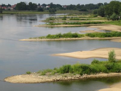
Mittlere Oder, nature reserve in Brandenburg, Germany
Location: Frankfurt (Oder)
Location: Brieskow-Finkenheerd
Location: Wiesenau
Location: Ziltendorf
Location: Eisenhüttenstadt
Inception: June 16, 2004
GPS coordinates: 52.24861,14.69694
Latest update: March 2, 2025 21:07

Friedrich-Wolf-Theater
12 km
Dokumentationszentrum Alltagskultur der DDR
12.7 km
Kunowice-Frankfurt border crossing
11.5 km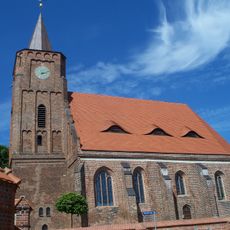
St. Nikolaikirche
11.8 km
Städtisches Museum Eisenhüttenstadt
11.7 km
Soviet military cemetery in Cybinka
9 km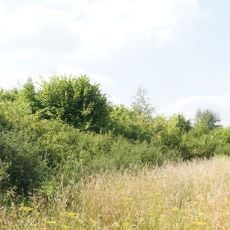
Burgwall Lossow
9.6 km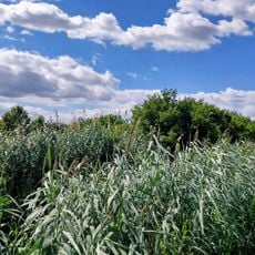
Grodisch
5.7 km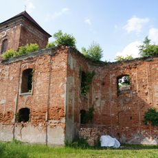
Dorfkirche Lossow
10.8 km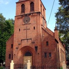
Kościół św. Andrzeja Boboli w Białkowie
11.3 km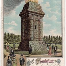
Bismarck tower
11.3 km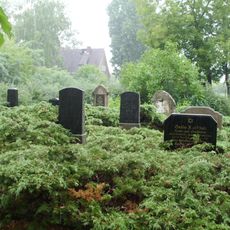
Jewish cemetery, Fürstenberg
11.1 km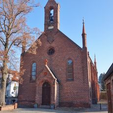
Village church Groß Lindow
11.3 km
Museum Utopie und Alltag
12.6 km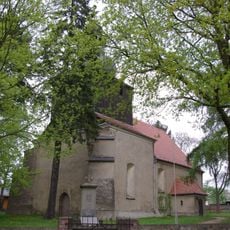
Village church Fünfeichen
16.2 km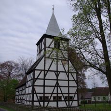
Village church Rießen
12.9 km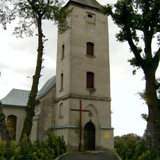
Saint Joseph church in Rybocice
6.5 km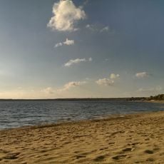
Ehemaliges Grubengelände Finkenheerd
11.6 km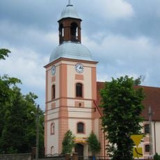
Our Lady of Częstochowa church in Cybinka
8.9 km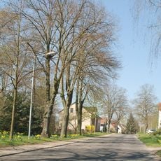
Güldendorf
12.2 km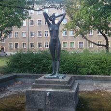
Weiblicher Akt
12.2 km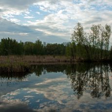
Kiesgruben Eisenhüttenstadt
9.5 km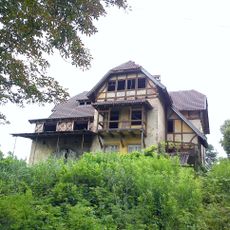
Willa
6 km
Fauler See, Märkischer Naturgarten, Güldendorfer Mühlental, Eichwald und Buschmühle
12.2 km
Erich-Weinert-Schule
12.8 km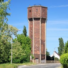
Wasserturm Fürstenberg
11 km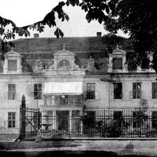
Schloss Lossow
10.9 km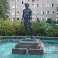
Knabenakt
12.2 kmReviews
Visited this place? Tap the stars to rate it and share your experience / photos with the community! Try now! You can cancel it anytime.
Discover hidden gems everywhere you go!
From secret cafés to breathtaking viewpoints, skip the crowded tourist spots and find places that match your style. Our app makes it easy with voice search, smart filtering, route optimization, and insider tips from travelers worldwide. Download now for the complete mobile experience.

A unique approach to discovering new places❞
— Le Figaro
All the places worth exploring❞
— France Info
A tailor-made excursion in just a few clicks❞
— 20 Minutes