
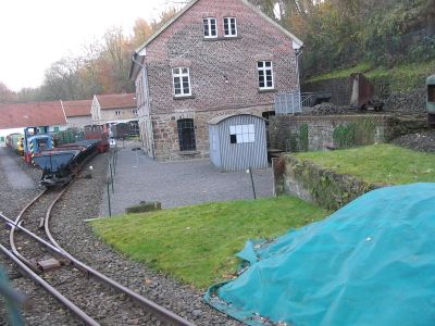
Mine Theresia, coal mine in Witten
Location: Witten
Inception: 1790
GPS coordinates: 51.42830,7.32620
Latest update: March 15, 2025 17:17
Mine Nachtigall
898 m
Castle Steinhausen
240 m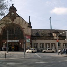
Witten Central Station
844 m
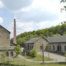
LWL Industry Museum Mine Nachtigall
891 m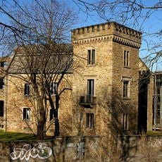
House Witten
763 m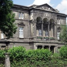
Villa Gustav Lohmann
898 m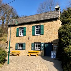
Bethaus der Bergleute
768 m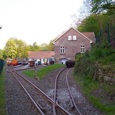
Deutsches Gruben- und Feldbahnmuseum
127 m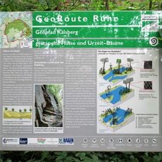
Ruhrgebiet Geopark
898 m
Villa Friedrich Lohmann sen.
831 m
Verbund-Wasserwerk Witten
621 m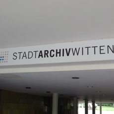
Stadtarchiv Witten
834 m
Steinbruch Dünkelberg
952 m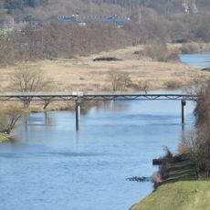
Nachtigallbrücke
833 m
Steinhausen
220 m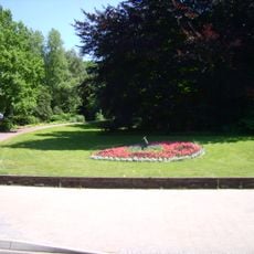
Witten town park
1 km
Mine Hermann
869 m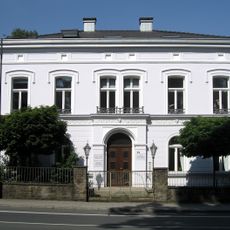
Villa Albert Lohmann
995 m
Mine Herberholz
929 m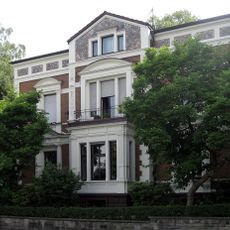
Villa Friedrich Lohmann jun.
1 km
Franziska Erbstollen
616 m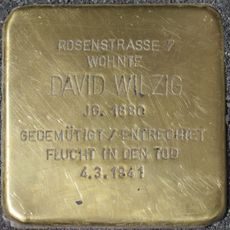
Stolperstein dedicated to David Wilzig
923 m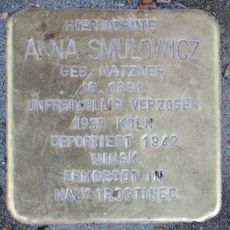
Stolperstein dedicated to Anna Smulowicz
841 m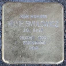
Stolperstein dedicated to Hilde Smulowicz
841 m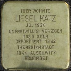
Stolperstein dedicated to Liesel Katz
1 km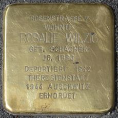
Stolperstein dedicated to Rosalie Wilzig
923 m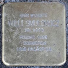
Stolperstein dedicated to Willi Smulowicz
841 m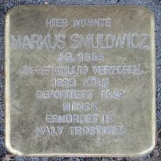
Stolperstein dedicated to Markus Smulowicz
841 mReviews
Visited this place? Tap the stars to rate it and share your experience / photos with the community! Try now! You can cancel it anytime.
Discover hidden gems everywhere you go!
From secret cafés to breathtaking viewpoints, skip the crowded tourist spots and find places that match your style. Our app makes it easy with voice search, smart filtering, route optimization, and insider tips from travelers worldwide. Download now for the complete mobile experience.

A unique approach to discovering new places❞
— Le Figaro
All the places worth exploring❞
— France Info
A tailor-made excursion in just a few clicks❞
— 20 Minutes