Hutberg, Summit in Dresden, Germany
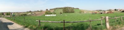
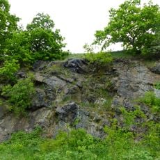
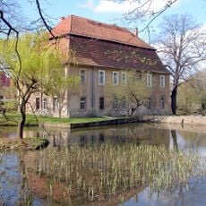
Hutberg is a forested mountain in Weißig, an eastern district of Dresden, rising about 311 meters above sea level. The slopes are covered with trees, and a former quarry site on the property includes two small ponds.
In 1758, King Frederick the Great established a military camp on the mountain during the Seven Years War to take advantage of its strategic position in the Elbe valley. This early military presence shows how important the location was for controlling the region.
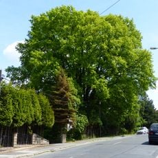
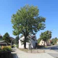
A memorial oak tree was planted at the summit in 1913 to mark a centennial anniversary related to early 19th-century events. The tree remains a quiet landmark that visitors encounter during their walk to the top.
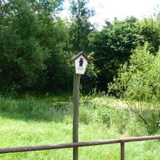
The mountain has multiple hiking trails of varying difficulty, so visitors can choose a route based on their ability. During winter, a sledding track adds to the recreational options.
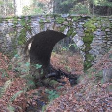
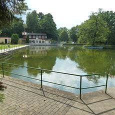
The two ponds in the former quarry provide habitat for rare amphibians, including several protected species of newts, frogs, and toads. These waters make the mountain an important refuge for local wildlife.
Location: Dresden
Elevation above the sea: 311 m
GPS coordinates: 51.06224,13.89349
Latest update: December 14, 2025 18:00
Hohe Brücke
2.4 km
Hoftheater Dresden
616 m
Bühlauer Friedhof
2.7 km
Michaelskirche
2.6 km
Kreuzkirche
579 m
Marienbad
1.5 km
Naturdenkmal Hutberg mit Steinbruch Weißig
52 m
Naturdenkmal Wiesen und Teich Quohrener Strasse Bühlau Dresden
2.4 km
Naturdenkmal Stieleiche Quohrener Straße Bühlau
2.2 km
Stiel-Eichen am Steinkreuz
1.2 km
Albert oak Weißig
653 m
Kurhaus Bühlau
2.8 km
Bautzner Landstraße 147
2.9 km
Quohrener Straße 28
2.5 km
Brunnen im Gönnsdorfer Park
2.3 km
Steinkreuz Weißig
1.1 km
Rittergut Gönnsdorf
2.4 km
Quohrener Straße 26
2.5 km
Ullersdorfer Straße 17
2.6 km
Bautzner Landstraße 144
2.9 km
Königsberger Straße 6
3 km
Wohnanlage Dresden-Bühlau
2.3 km
Friedhofskapelle Bühlau
2.7 km
Windmühle Großerkmannsdorf
2.9 km
Gasthof Ullersdorfer Hauptstraße 15 (ehemals Hauptstraße 15)
2.2 km
Kriegerdenkmal Weißig
568 m
Kriegerdenkmal Bühlau
2.6 km
Wohnhaus und zwei Seitengebäude Ullersdorfer Hauptstraße 20 (ehemals Hauptstraße 20)
2.2 kmVisited this place? Tap the stars to rate it and share your experience / photos with the community! Try now! You can cancel it anytime.
Discover hidden gems everywhere you go!
From secret cafés to breathtaking viewpoints, skip the crowded tourist spots and find places that match your style. Our app makes it easy with voice search, smart filtering, route optimization, and insider tips from travelers worldwide. Download now for the complete mobile experience.
A unique approach to discovering new places❞
— Le Figaro
All the places worth exploring❞
— France Info
A tailor-made excursion in just a few clicks❞
— 20 Minutes