Ringwall auf dem Gehrdener Berg, Archaeological ring wall site in Gehrden, Germany
The Ringwall auf dem Gehrdener Berg is a semicircular earthwork on the 155 m high Burgberg, the highest point of the Gehrdener Berg. Its 4–6 m wide rampart encloses an oval area of about one hectare, measuring 140 by 75 m, and is open on the northwest where a steep slope served as defence. Outside lies a pointed ditch up to 6 m wide and originally about 3 m deep; the drop from rampart crown to ditch bottom reached 5 m.
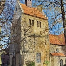
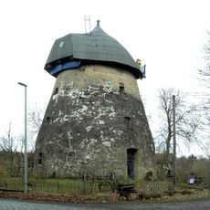
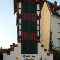
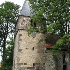
The fortification likely arose between antiquity and the early Middle Ages, with archaeological excavations from the 1930s and 2010s uncovering soil layers suggesting two construction phases. A tower was built in the late 1800s with a café, later serving as a school and hospital in the 20th century.
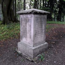
The name "Cheruskerburg" comes from 1930s excavations that linked the wall to the Cherusci tribe, a claim now rejected. In 1938 the Reichsarbeitsdienst laid out a Cheruskerlehrpfad with explanatory stone tablets, which still stand. A 2015 information board by the Region Hannover explains the site's history and its ideological appropriation under National Socialism.
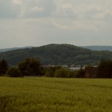
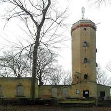
The wall and its outer ditch remain visible in the forest, but the northwest side has no rampart because a steep slope served as the barrier. The 20-metre Burgbergturm and the ruined restaurant building stand inside the enclosure. The site lies on the wooded 155-metre summit of the Burgberg, the highest point of the Gehrdener Berg.
Despite several excavations, no precisely datable objects have been found, leaving questions about its purpose and exact age unresolved. Archaeologists debate whether the wall served as a refuge, a lookout for trade routes, or was even connected to Charlemagne's campaigns.
The community of curious travelers
AroundUs brings together thousands of curated places, local tips, and hidden gems, enriched daily by 93,629 contributors worldwide.