
Homburg, Ortsteil of Triefenstein
Location: Triefenstein
Elevation above the sea: 176 m
Shares border with: Lengfurt, Erlenbach, Tiefenthal, Remlingen, Wüstenzell, Dertingen, Bettingen, Trennfeld
GPS coordinates: 49.79303,9.62013
Latest update: March 12, 2025 06:42
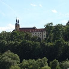
Kloster Triefenstein
2.3 km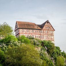
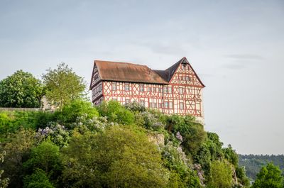
Schloss
98 m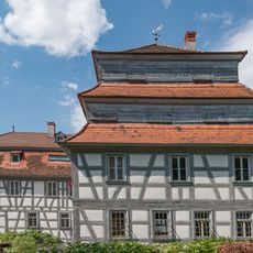
Paper Mill Homburg
447 m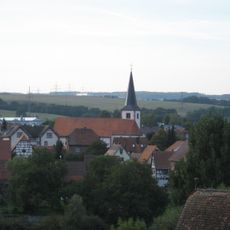
Parish church of Saint George in Trennfeld
375 m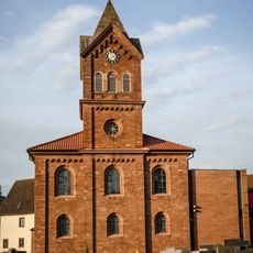
Pfarrkirche
86 m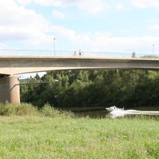
Mainbrücke Lengfurt
2 km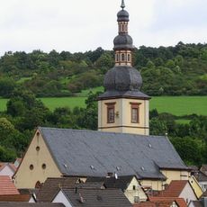
Pfarrkirche
2.2 km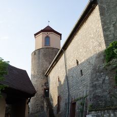
Kapelle
488 m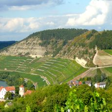
Kallmuth
513 m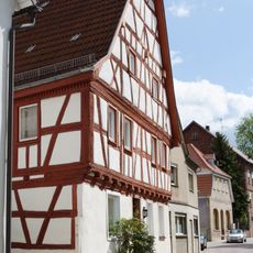
Wohnhaus
2.2 km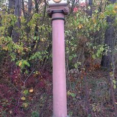
Mariensäule
2 km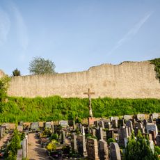
Befestigung
89 m
Mainprallhang Kallmuth N von Homburg
1 km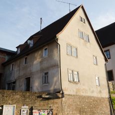
Amtskellerei
74 m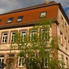
Wohnhaus
2.2 km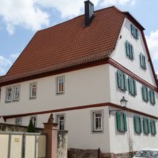
Wohnhaus
2.2 km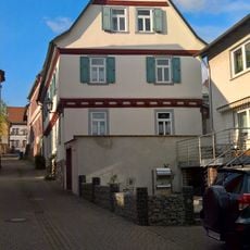
Wohnhaus
2.2 km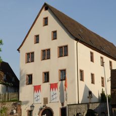
Zehntstadel
100 m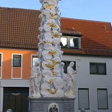
Dreifaltigkeitssäule
2.2 km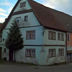
Wohnhaus
2.2 km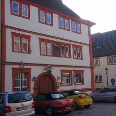
Gasthaus
2.2 km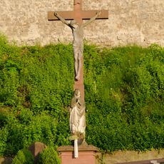
Kreuz
88 m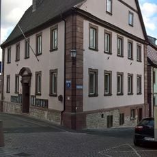
Rathaus
2.2 km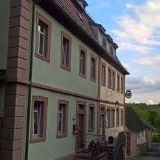
Doppelhaus
2.2 km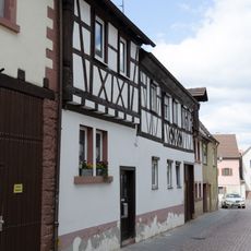
Wohnhaus
2.2 km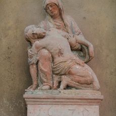
Pietà
2.1 km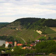
Maintrockenhänge am Kallmuth
862 m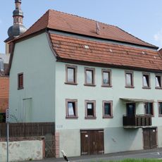
Wohnhaus
2.2 kmReviews
Visited this place? Tap the stars to rate it and share your experience / photos with the community! Try now! You can cancel it anytime.
Discover hidden gems everywhere you go!
From secret cafés to breathtaking viewpoints, skip the crowded tourist spots and find places that match your style. Our app makes it easy with voice search, smart filtering, route optimization, and insider tips from travelers worldwide. Download now for the complete mobile experience.

A unique approach to discovering new places❞
— Le Figaro
All the places worth exploring❞
— France Info
A tailor-made excursion in just a few clicks❞
— 20 Minutes