Breitenstein, Mountain summit at Tyrol-Bavaria border, Austria and Germany
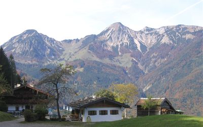
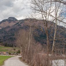
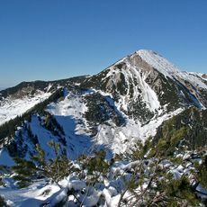
Breitenstein is a mountain peak reaching 1,661 meters on the border between Austria and Germany in the Chiemgau Alps. The summit provides views across both the Austrian and German territories that meet at this natural boundary.
The mountain served as a boundary marker between Tirol and Bavaria for many centuries, recognized by local communities on both sides. This natural dividing line remained a key geographical reference throughout the medieval period and beyond.
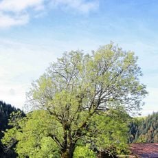
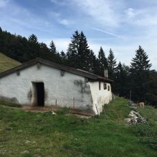
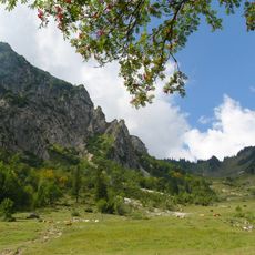
People living on both sides use the mountain pastures for traditional livestock farming that shapes how the landscape looks and functions today. This farming practice remains visible in the grazing patterns and the way locals move through the mountain throughout the year.
Several hiking routes start from Walchsee, Schleching, and Aschau im Chiemgau and lead to the summit with clear trail markings throughout. The paths are well-established and straightforward to follow, making navigation manageable for most visitors.
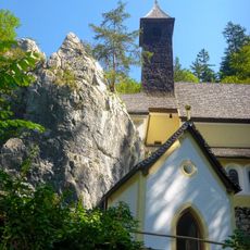
The peak displays rock types from two different Alpine geological zones that come together in one rare location. This geological feature is visible to visitors and creates an unusual intersection of mountain formations at the summit.
The community of curious travelers
AroundUs brings together thousands of curated places, local tips, and hidden gems, enriched daily by 60,000 contributors worldwide.