
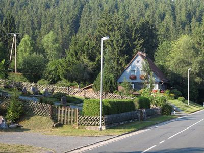
Mittelschulenberg, human settlement in Germany
Location: Clausthal-Zellerfeld
Elevation above the sea: 430 m
GPS coordinates: 51.82983,10.42616
Latest update: March 9, 2025 10:16
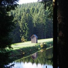
Neuer Grumbacher Teich
5.3 km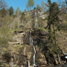
Romkerhall
4.5 km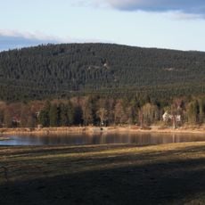
Schalke
3.8 km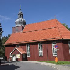
St. Nikolai (Altenau)
3.3 km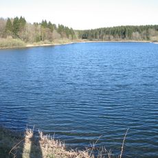
Mittlerer Pfauenteich
5.3 km
Sperberhai Dyke
5.5 km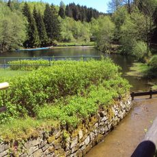
Kleiner Okerteich
4.3 km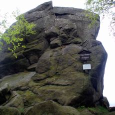
Feigenbaumklippe
5.3 km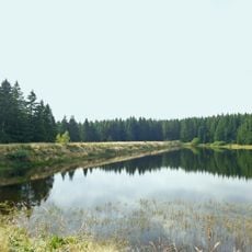
Zankwieser Teich
3.8 km
Kleine Oker
3.3 km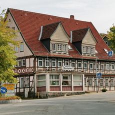
Rathaus
3.3 km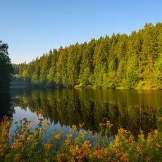
Hüttenteich Altenau
3.7 km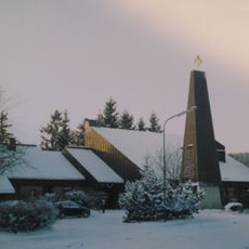
St. Oliver church Altenau
3.4 km
Fortuner Teich
4 km
Kiefhölzer Teich
4.1 km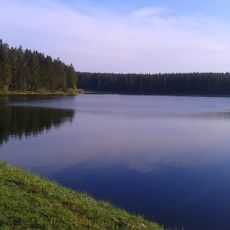
Jägersbleeker Teich
4.5 km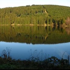
Mittlerer Kellerhalsteich
4.4 km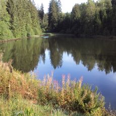
Unterer Kellerhalsteich
4.8 km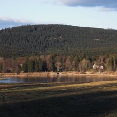
Stadtweger Teich
5.4 km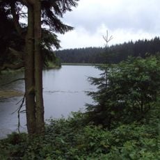
Oberer Kellerhalsteich
4.8 km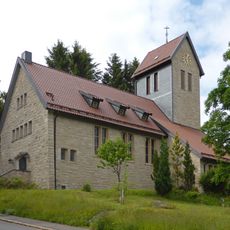
Sankt-Petrus-Kapelle
778 m
Unterer Hausherzberger Teich
5.5 km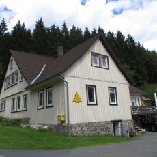
Schulenberger Zechenhaus
1.9 km
Okerstausee
1.7 km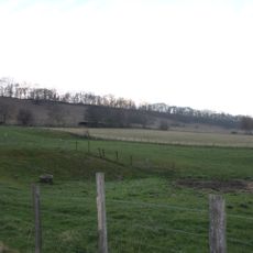
Harz (Landkreis Goslar)
1.6 km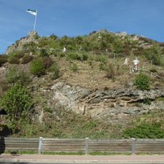
Schützenklippe
3.7 km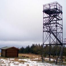
Schalke Observation Tower
3.7 km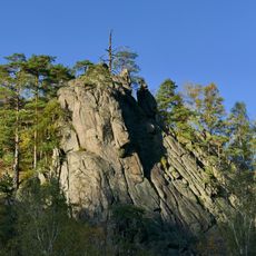
Felsen im Okertal
5.2 kmReviews
Visited this place? Tap the stars to rate it and share your experience / photos with the community! Try now! You can cancel it anytime.
Discover hidden gems everywhere you go!
From secret cafés to breathtaking viewpoints, skip the crowded tourist spots and find places that match your style. Our app makes it easy with voice search, smart filtering, route optimization, and insider tips from travelers worldwide. Download now for the complete mobile experience.

A unique approach to discovering new places❞
— Le Figaro
All the places worth exploring❞
— France Info
A tailor-made excursion in just a few clicks❞
— 20 Minutes