Enable Location

We need your location to show you interesting places around you

Discover nearby places

Find interesting locations and hidden gems around you

Precise directions

Get accurate directions and distances to places

Your location is never shared with other users. It's only used when you tap the location button.

Clausthal-Zellerfeld

Log in to your account

Start exploring — it's free

Trusted by 63,324 travelers worldwide

Continue with Google
Continue with Apple
or

We will send you a code to connect

By continuing, you accept our Terms and Conditions and our Privacy Policy

Check your inbox

We've sent a pincode in your inbox. Please enter the code below.

Discussion Reviews 3 Photos
83.2k Popularity

Clausthal-Zellerfeld, Mining and university town in Lower Saxony, Germany.

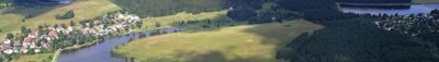
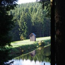
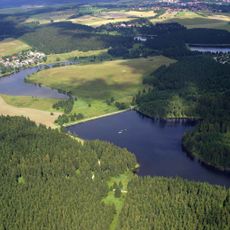
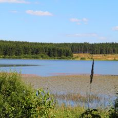
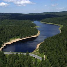
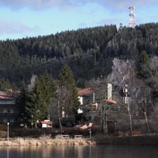
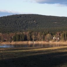
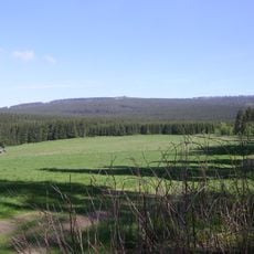
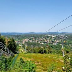
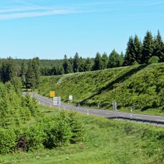
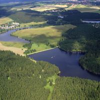
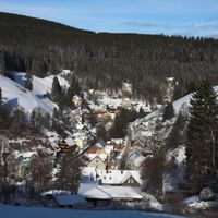
Clausthal-Zellerfeld sits on a plateau in the southwestern Harz at roughly 1,850 feet (560 meters) elevation and includes the districts of Clausthal, Zellerfeld, and Buntenbock. Streets run between forested hills while residential areas and university buildings spread across several kilometers.

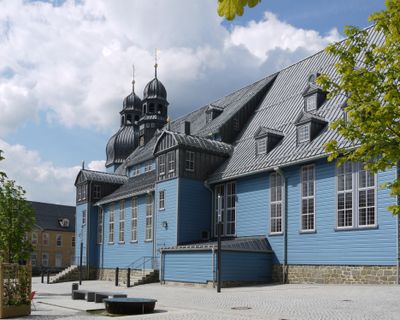
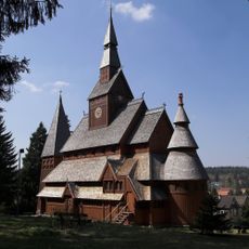
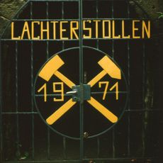
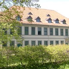
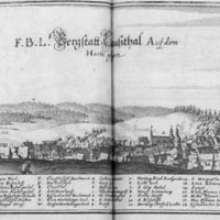
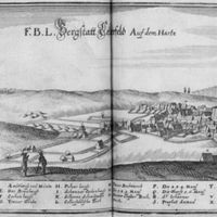
The municipality formed in 1924 through the merger of two mining towns that extracted silver and other ores since the 16th century. During the 1830s engineer Wilhelm Albert developed modern wire rope here for mining operations.

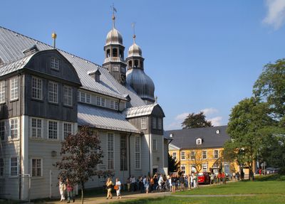
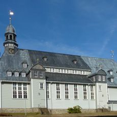
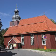
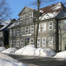
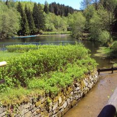
The name recalls two mining towns that stood side by side for centuries, each maintaining its own church and market square. Today students and locals share the pedestrian zone linking the former town centers, lined with cafés and small shops.

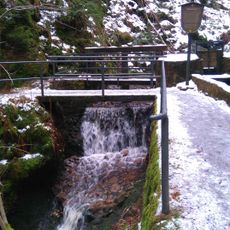
The town sits around 1,970 feet (600 meters) above sea level, so weather tends to be cooler and wetter than in surrounding lowlands. Walking routes between districts pass through forested terrain and can become slippery during snow or rain.

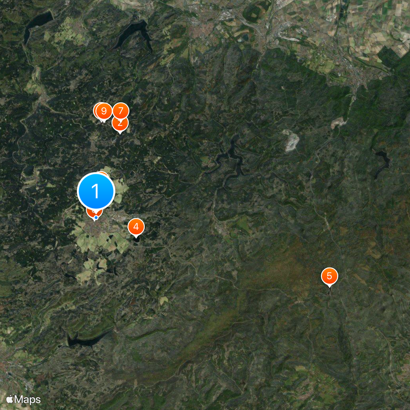
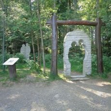
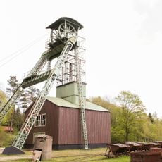
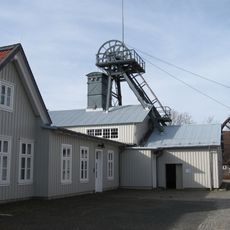
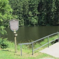
The Upper Harz Mining Museum displays tools, machines, and models from several centuries of mining across four floors. Visitors can enter the old Kaiser Wilhelm II and Ottiliae shafts where lead and zinc were once extracted.

The community of curious travelers

AroundUs brings together thousands of curated places, local tips, and hidden gems, enriched daily by 60,000 contributors worldwide.

Start exploring
Location
Elevation above the sea
566 m
GPS coordinates
51.80500,10.33556
Latest update
December 13, 2025 16:21
Reviews
Share your experience

No review yet

Discussions
Start a discussion...

No discussion yet

« Clausthal-Zellerfeld - Mining and university town in Lower Saxony, Germany » is provided by Around Us (aroundus.com). Images and texts are derived from Wikimedia project under a Creative Commons license. You are allowed to copy, distribute, and modify copies of this page, under the conditions set by the license, as long as this note is clearly visible.

Discover hidden gems everywhere you go!

From secret cafés to breathtaking viewpoints, skip the crowded tourist spots and find places that match your style. Our app makes it easy with voice search, smart filtering, route optimization, and insider tips from travelers worldwide. Download now for the complete mobile experience.

Around Us App Screenshot

A unique approach to discovering new places

Le Figaro

All the places worth exploring

France Info

A tailor-made excursion in just a few clicks

20 Minutes

Around Us
Travel Guide & Maps
Download

Send to your phone

QR Code
1

Open the camera app on your mobile.

2

Point at the QR code with your camera. A notification will appear.

3

Tap the notification to open the link.