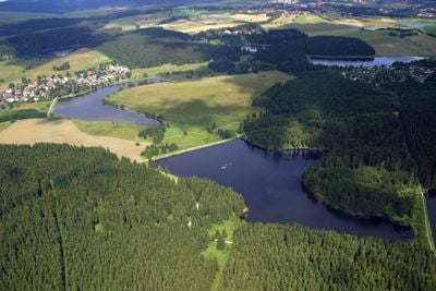
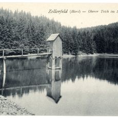
Upper Harz Water Regale, Historic water management system in Harz Mountains, Germany
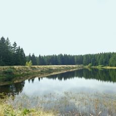
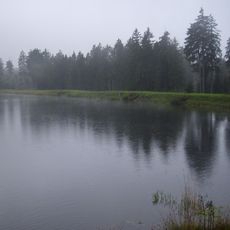
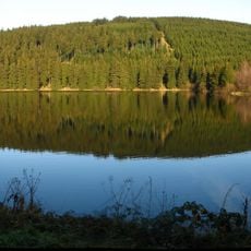
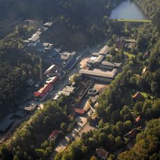
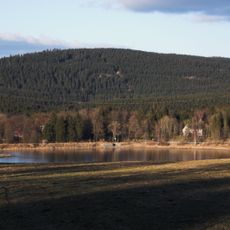
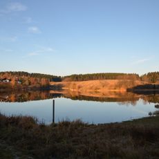
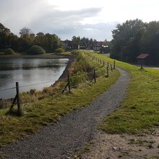
The Upper Harz Water Regale is a network of constructed ponds, ditches, and underground channels in the Harz Mountains that store and distribute water. The system connects water routes across different elevations that still transport water today and shape the landscape.
Miners began building water dams and channels in the 16th century to power water wheels for their mining machinery. The network grew over several centuries and shows the development of water technology from the Middle Ages through the 19th century.
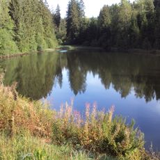
The channels and ponds shape the landscape today and show how generations controlled water here to support their work. Throughout the area, you can see the artificial waterways and understand how closely people and nature were connected in this region.
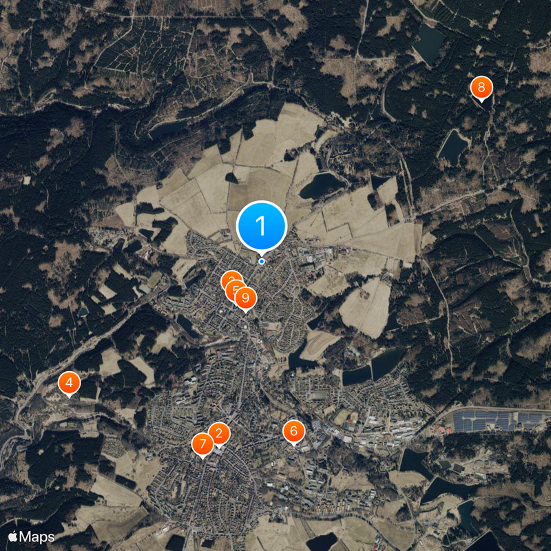
Several walking paths lead you along the channels and ponds, with information boards throughout explaining how the system works. Comfortable footwear is recommended since the trails pass through forest and over hills.
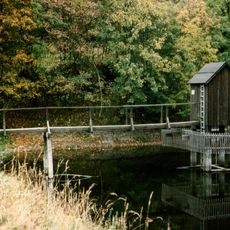
The Hutthaler Widerwaage is a rare 18th-century automatic water-level regulator that still functions today. This technical marvel operates without electric pumps or modern control systems.
Location: Harz
GPS coordinates: 51.82000,10.34000
Latest update: December 20, 2025 12:22
Marktkirche zum Heiligen Geist
1.8 km
Upper Harz Mining Museum
429 m
Ottiliae-Schacht
2.3 km
St Salvatoris
481 m
Emperor William Shaft
1.8 km
Alte Münze zu Clausthal
2 km
Zankwieser Teich
2.6 km
Altes Primarius-Pfarrhaus und Superintendentur Zellerfeld
506 m
Church in Clausthal-Zellerfeld
1.7 km
Kiefhölzer Teich
2.1 km
Oberer Spiegeltaler Teich
1.7 km
Mittlerer Kellerhalsteich
2.6 km
Unterer Kellerhalsteich
1.8 km
Niedersächsisches Bergarchiv
1.8 km
Mines of Rammelsberg, Historic Town of Goslar and Upper Harz Water Management System
0 m
Stadtweger Teich
937 m
Unterer Eschenbacher Teich
991 m
Hotel Goldene Krone
1.5 km
Unterer Hausherzberger Teich
1.4 km
Friedrich Adolph Roemer-Denkmal
1.8 km
Neuer Friedhof
1.8 km
Townhall Clausthal-Zellerfeld
1.9 km
Robert-Koch-Haus Clausthal
1.4 km
Carler Teich
720 m
Landesamt für Bergbau, Energie und Geologie, Bibliothek Clausthal
1.8 km
ND-GS 56 (Ahorngruppe)
602 m
ND-GS 57 (Blutbuche)
1.8 km
ND-GS 58 (Alter Ahorn)
2.3 kmVisited this place? Tap the stars to rate it and share your experience / photos with the community! Try now! You can cancel it anytime.
Discover hidden gems everywhere you go!
From secret cafés to breathtaking viewpoints, skip the crowded tourist spots and find places that match your style. Our app makes it easy with voice search, smart filtering, route optimization, and insider tips from travelers worldwide. Download now for the complete mobile experience.
A unique approach to discovering new places❞
— Le Figaro
All the places worth exploring❞
— France Info
A tailor-made excursion in just a few clicks❞
— 20 Minutes