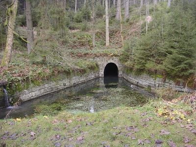
Huttaler Widerwaage, Water regulation structure in Clausthal-Zellerfeld, Germany.
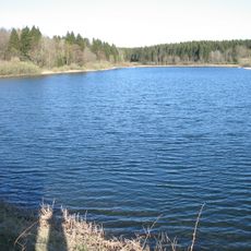
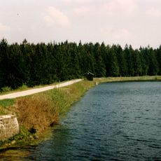
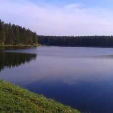
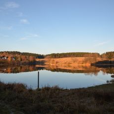
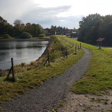
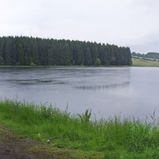
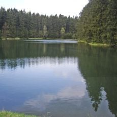
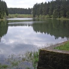
The Huttaler Widerwaage is a small water regulation structure with wooden weirs located at about 605 meters elevation that controls water flow between different areas. The system consists of connected ditches that can direct water in various directions based on mining needs.
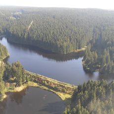
The structure was built during the mining era to supply water to the Caroline and Dorothea mines. An underground network of tunnels connected this site to the mines and transported water where it was needed for operations.
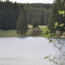
The water system was created by miners and remains visible today as part of a larger network of channels running through the landscape. It shows how closely people here connected water management with their daily work.
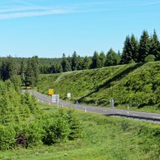
You can reach the site from parking areas along the B 242 route between Clausthal and Braunlage, where information boards explain the water system. The location lies on a hiking trail and is easily accessible on foot, making it convenient to visit during a mountain walk.
The ditches of this structure are engineered with no slope, allowing water to flow in both directions. This ingenious solution provided flexibility to supply water to different mines depending on which ones were operating at any given time.
The community of curious travelers
AroundUs brings together thousands of curated places, local tips, and hidden gems, enriched daily by 60,000 contributors worldwide.