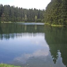
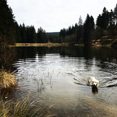
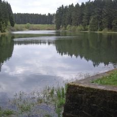
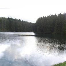
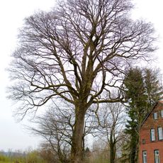
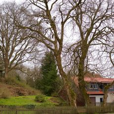
Bärenbrucher Teich, reservoir near Buntenbock, Clausthal-Zellerfeld, Germany
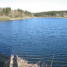
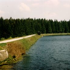
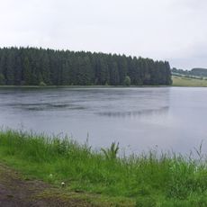
Bärenbrucher Teich is a historic dam pond of the Upper Harz Ponds system, lying 1.25 km east of Buntenbock in the Harz Nature Park. The upper Innerste flows through it, and its water surface sits at 559.36 m above sea level, level with the crest of the spillway. Its dam stands 7.09 m high and impounds 189,000 m³.
The reservoir was created around 1634 to support mining in the region by providing water for the mines. Over the centuries, it remained part of the Upper Harz Ponds system and served the water needs of the mining industry.
The pond lies 1.25 km east of Buntenbock, a district of Clausthal-Zellerfeld, and the upper Innerste flows through it. The dam is 7.09 m high; the water level sits at 559.36 m above sea level. A refuge hut at the southern end of the dam holds Harzer Wandernadel checkpoint no. 137. Fishing is permitted, but boat fishing is not allowed.
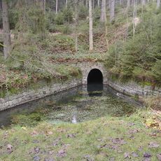
Water from the reservoir is conveyed through a system of ditches and tunnels built in 1948 that lead to other facilities below. Today it functions mainly as an overflow basin, releasing water into the Ziegenberger Teich below during heavy rainfall.
The community of curious travelers
AroundUs brings together thousands of curated places, local tips, and hidden gems, enriched daily by 92,633 contributors worldwide.