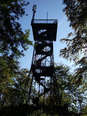
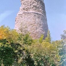
Aussichtsturm Kuckholzklippe, Steel observation tower in Göttingen district, Germany.
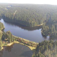
The Kuckholzklippe observation tower is a steel structure in Göttingen district, standing at 565 meters elevation. Seventy-five steps lead to two platforms where visitors can survey views across the Upper Harz region.
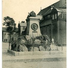
Members of several Harzklub branches built this steel skeleton tower in 1897 to create an observation point for the region. The structure arose during a period when such towers became popular in the Harz area, offering hikers new vantage points.
The name comes from Kuhkolk, a water source where mountain cows gathered, and transformed through linguistic change into Kuckholz.
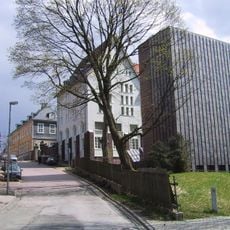
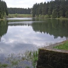
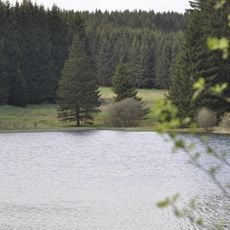
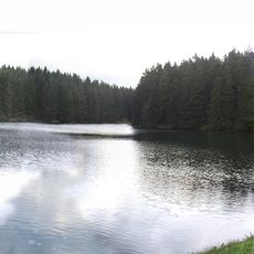
The tower connects to several hiking trails starting from Lerbach village and the Prinzenteich parking area, making it easy for visitors to explore the surrounding terrain. It is best visited during daylight hours in clear weather when distant views are optimal.
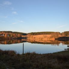
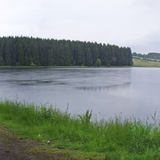
On clear days, visitors can spot the Brocken mountain range, the Eichsfeld region, and Göttingen mountains from the tower, making it a viewpoint that connects multiple landscapes at once. The platform accommodates about 90 people, so crowding remains manageable even when visitor numbers are higher.
The community of curious travelers
AroundUs brings together thousands of curated places, local tips, and hidden gems, enriched daily by 60,000 contributors worldwide.