Enable Location

We need your location to show you interesting places around you

Discover nearby places

Find interesting locations and hidden gems around you

Precise directions

Get accurate directions and distances to places

Your location is never shared with other users. It's only used when you tap the location button.

Clausthal

Log in to your account

Start exploring — it's free

Trusted by 61,365 travelers worldwide

Continue with Google
Continue with Apple
or

We will send you a code to connect

By continuing, you accept our Terms and Conditions and our Privacy Policy

Check your inbox

We've sent a pincode in your inbox. Please enter the code below.

Clausthal

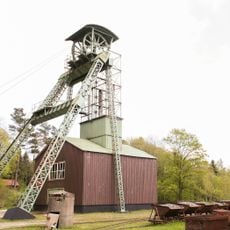
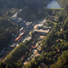
Clausthal, Mining district in Clausthal-Zellerfeld, Germany

Description

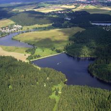
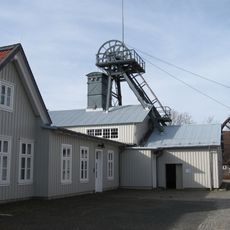
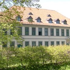
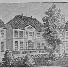
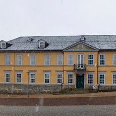
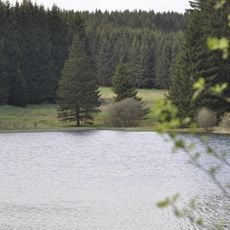
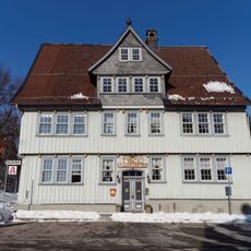
Clausthal is a mining village in the Harz Mountains located at 560 meters elevation, combining historical mine shafts with old industrial buildings and educational institutions. The streets and buildings reflect the era of intensive ore extraction, with typical mining settlement patterns still visible in the town layout.

History

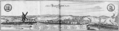
Mining in this area began in the 16th century and brought wealth to the principalities of Hanover and Brunswick-Wolfenbüttel. The region was long one of Europe's major silver sources before production declined in the 19th century.

Culture

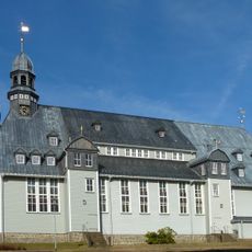
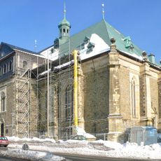
The Market Church of the Holy Spirit dominates the town center with its wooden construction and baroque design that visitors immediately notice upon arrival. This church serves as the heart of local identity, reflecting how faith and craftsmanship shaped life in this mining region.

Practical

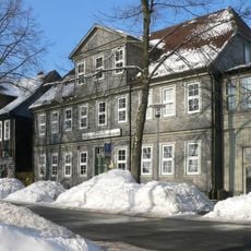
The former railway station now serves as a tourist information center and library with helpful materials about mining history. Visitors interested in exploring the old mine shafts and museums can find guidance and local maps there.

Did you know?

Women who carried goods in large baskets were the backbone of daily trade, linking different shafts and workshops throughout the district. These basket carriers not only moved materials but also shared news and information among workers.

Elevation above the sea
560 m
Shares border with
Zellerfeld
GPS coordinates
51.80361,10.33306
Latest update
December 7, 2025 20:49

AroundUs brings together thousands of curated places, local tips, and hidden gems, enriched daily by 60,000 contributors worldwide. Discover all places nearby (Clausthal-Zellerfeld).

« Clausthal - Mining district in Clausthal-Zellerfeld, Germany » is provided by Around Us (aroundus.com). Images and texts are derived from Wikimedia project under a Creative Commons license. You are allowed to copy, distribute, and modify copies of this page, under the conditions set by the license, as long as this note is clearly visible.

Discover hidden gems everywhere you go!

From secret cafés to breathtaking viewpoints, skip the crowded tourist spots and find places that match your style. Our app makes it easy with voice search, smart filtering, route optimization, and insider tips from travelers worldwide. Download now for the complete mobile experience.

Around Us App Screenshot

A unique approach to discovering new places

Le Figaro

All the places worth exploring

France Info

A tailor-made excursion in just a few clicks

20 Minutes

Around Us
Travel Guide & Maps
Download

Send to your phone

QR Code
1

Open the camera app on your mobile.

2

Point at the QR code with your camera. A notification will appear.

3

Tap the notification to open the link.