
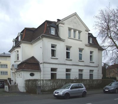
Edmund-Weber-Straße 72, building
Location: Herne
Address: Edmund-Weber-Straße 72
GPS coordinates: 51.51036,7.17292
Latest update: March 7, 2025 19:04
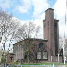
Autobahnkirche RUHR
1.9 km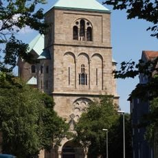
St. Joseph
1.5 km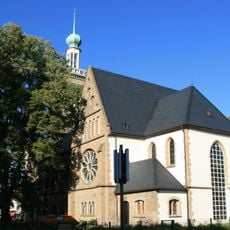
Johanneskirche
572 m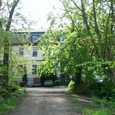
Haus Dahlhausen
932 m
Haus Overdyck
2 km
Königsgruber Park
864 m
St. Nikolaus von Flüe
1.4 km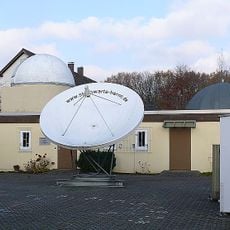
Sternwarte Herne
1.8 km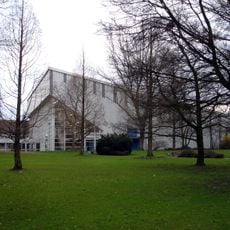
Sportpark Eickel
1.3 km
Langekampstraße 35
1.8 km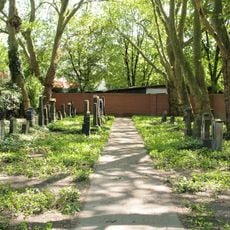
Jüdischer Friedhof
1.7 km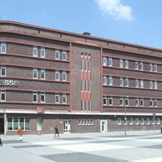
Sparkasse Wanne-Eickel
2.4 km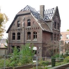
Pfarrhaus St. Marien
781 m
Löns Mühle
1.5 km
Stöckstraße 34 b
625 m
Edmund-Weber-Straße 237
1.6 km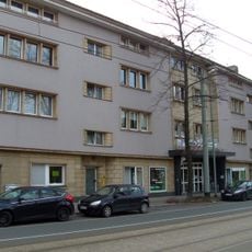
Hauptstraße 89
1 km
Märkische Straße 11
1.7 km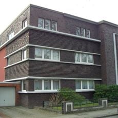
Reichsstraße 28
625 m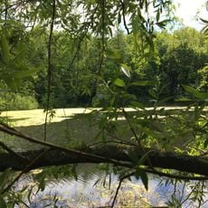
Hofsteder Weiher
1.5 km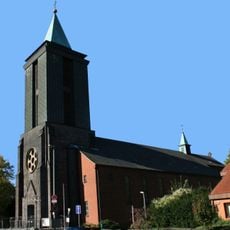
St. Marien Wanne-Eickel
800 m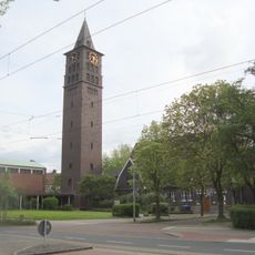
Zwölf-Apostel-Kirche
1.2 km
LSG-Park Hordel, Dahlhausen, Hueller Bach, Hofsteder Bach und Marbach in Bochum-Mitte
943 m
Blumenkamp
1.8 km
LSG-Koenigsgrube
851 m
LSG-Suedlich Holsterhauser Strasse/Stadtgrenze Bochum
2 km
LSG-Roehlinghausen
2 km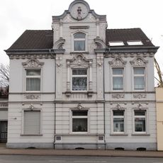
Holsterhauser Straße 78
2 kmReviews
Visited this place? Tap the stars to rate it and share your experience / photos with the community! Try now! You can cancel it anytime.
Discover hidden gems everywhere you go!
From secret cafés to breathtaking viewpoints, skip the crowded tourist spots and find places that match your style. Our app makes it easy with voice search, smart filtering, route optimization, and insider tips from travelers worldwide. Download now for the complete mobile experience.

A unique approach to discovering new places❞
— Le Figaro
All the places worth exploring❞
— France Info
A tailor-made excursion in just a few clicks❞
— 20 Minutes