
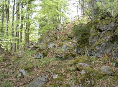
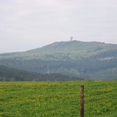
Eulenberg, mountain in Germany
Location: Eslarn
Elevation above the sea: 817 m
Length: 20 m
Width: 5 m
Website: http://www.umweltatlas.bayern.de/mapapps/resources/reports/geotope/generateBericht.pdf?additionallayerfieldvalue=374R029
GPS coordinates: 49.54215,12.59066
Latest update: March 18, 2025 16:31
Plattenberg
3.5 km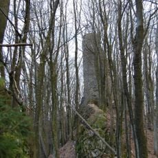
Burgruine Reichenstein
3.8 km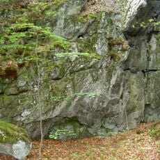
Weingartnerfels
3.6 km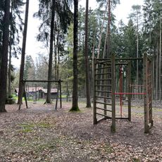
Wildpark Eslarn
3.7 km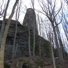
Burgfels Reichenstein NE von Stadlern
3.8 km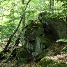
Pleš
3.6 km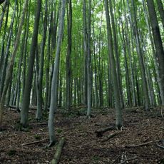
Malý Zvon
4 km
Dietersberg (Schönsee)
3.4 km
Veský mlýn
1.3 km
Nad Hutí
4.6 km
Lindauer Bach
4 km
Böhmerwald Tower
3.6 km
Katholische Kirche St. Maria
2.4 km
Socha svatého Jana Nepomuckého u Pleše
1.1 km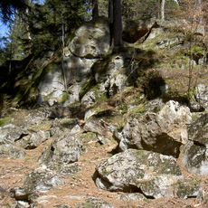
Magdalenafels E von Schönsee
4 km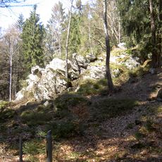
Felsrippe Steinfelsen ENE von Schönsee
3.7 km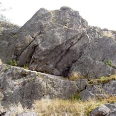
Hochfels
4.3 km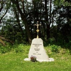
Kříž u zaniklého Václava
2.8 km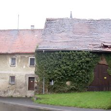
Schönsee Vorstadt 3
4.6 km
Lochmühle
4.6 km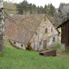
Stadlern Reichenberg 3
3.5 km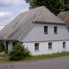
Erdgeschossiges Halbwalmdachhaus
4.6 km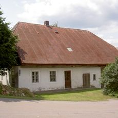
Ehemaliges Wohnstallhaus
4.5 km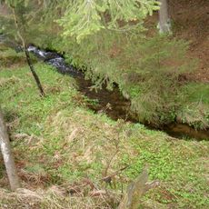
Fahrbachtal
2.5 km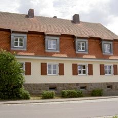
Wohnhaus
4.2 km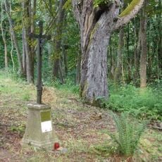
Boží muka před areálem bývalého kostela v Pleši
1.2 km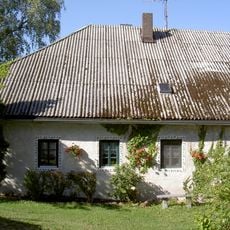
Ehemaliges Wohnstallhaus,
4.6 km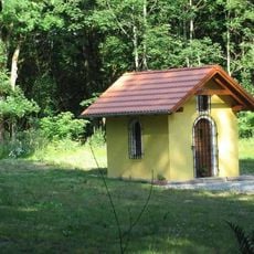
Kaple Panny Marie na základech bývalého kostela v Pleši
1.2 kmReviews
Visited this place? Tap the stars to rate it and share your experience / photos with the community! Try now! You can cancel it anytime.
Discover hidden gems everywhere you go!
From secret cafés to breathtaking viewpoints, skip the crowded tourist spots and find places that match your style. Our app makes it easy with voice search, smart filtering, route optimization, and insider tips from travelers worldwide. Download now for the complete mobile experience.

A unique approach to discovering new places❞
— Le Figaro
All the places worth exploring❞
— France Info
A tailor-made excursion in just a few clicks❞
— 20 Minutes