Rüspel, Administrative district in Elsdorf, Germany.
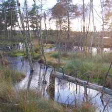
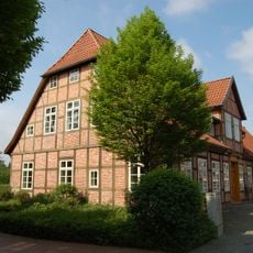
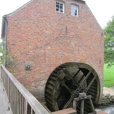
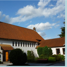
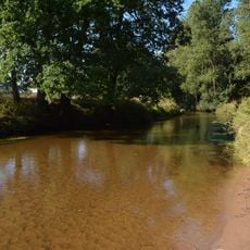
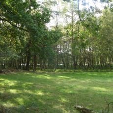
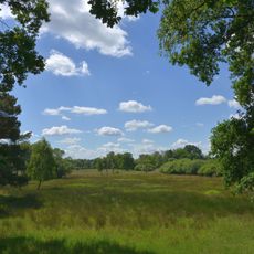
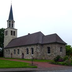
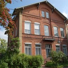
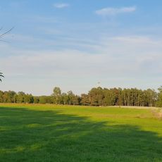
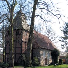
Rüspel is a district within the municipality of Elsdorf characterized by farmland, houses, and rural roads typical of northern Germany. The settlement sits in the lowlands and blends agricultural areas with residential zones that define the local landscape.
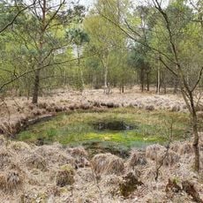
Rüspel emerged as a settlement in a traditional farming region of northern Germany. The locality maintained its role as a rural community area throughout various periods of German administrative development.
The residents of Rüspel participate in regular community gatherings where local agricultural traditions and regional customs shape the social fabric of the district.
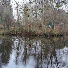
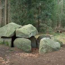
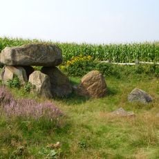
The locality is accessible by local roads but offers little tourist infrastructure, as it is primarily residential and agricultural land. Visitors should expect a quiet rural setting with no dedicated attractions or visitor facilities.
The geographical coordinates of 53.2719° latitude and 9.3951° longitude position Rüspel in a region where agricultural activities intersect with residential development patterns.
The community of curious travelers
AroundUs brings together thousands of curated places, local tips, and hidden gems, enriched daily by 60,000 contributors worldwide.