
Sankt Mang, District of Kempten (Allgäu), Bavaria, Germany
Location: Kempten
Elevation above the sea: 700 m
GPS coordinates: 47.71139,10.32944
Latest update: March 6, 2025 06:30
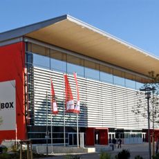
BigBOX Allgäu
1.4 km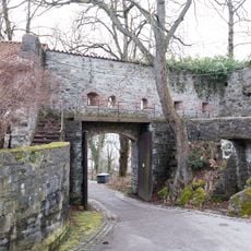
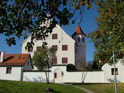
Burghalde
1.4 km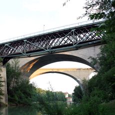
King Louis Bridge
733 m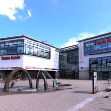
Forum Allgäu
1.5 km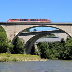
Obere Illerbrücken
705 m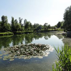
Engelhaldepark
1.1 km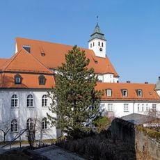
St. Anton
1.5 km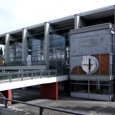
Christi Himmelfahrt (Kempten)
1.5 km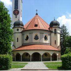
Mariä Himmelfahrt
645 m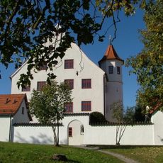
Rotschlössle
259 m
Chapuis-Villa
1.5 km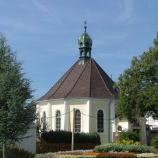
Christuskirche (Kempten)
441 m
König-Ludwig-Denkmal
644 m
Maria Hilfe der Christen
1.3 km
Bachtelmühle
1.5 km
Letten
1.3 km
Evangelischer Friedhof Kempten
1.5 km
Boleitestäffele 7 (Kempten)
1.4 km
Alpenrosenstraße 2
1.4 km
Gasthaus Ochsenkeller
1.5 km
Wohnhaus
1.4 km
Weberei Kottern
1.5 km
Boleitestäffele 3
1.4 km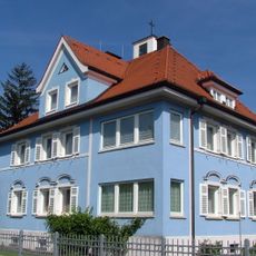
Pfarrhaus Mariä Himmelfahrt
645 m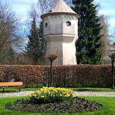
Wasserturm
640 m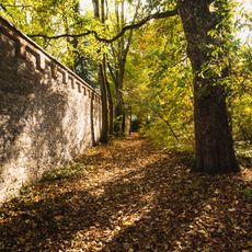
Mauer Nähe Füssener Straße in Kempten (Allgäu)
1.6 km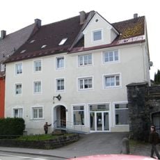
Wohnhaus und ehemals Werkstattgebäude
1.5 km
Wohn- und Geschäftshaus
1.5 kmVisited this place? Tap the stars to rate it and share your experience / photos with the community! Try now! You can cancel it anytime.
Discover hidden gems everywhere you go!
From secret cafés to breathtaking viewpoints, skip the crowded tourist spots and find places that match your style. Our app makes it easy with voice search, smart filtering, route optimization, and insider tips from travelers worldwide. Download now for the complete mobile experience.

A unique approach to discovering new places❞
— Le Figaro
All the places worth exploring❞
— France Info
A tailor-made excursion in just a few clicks❞
— 20 Minutes