
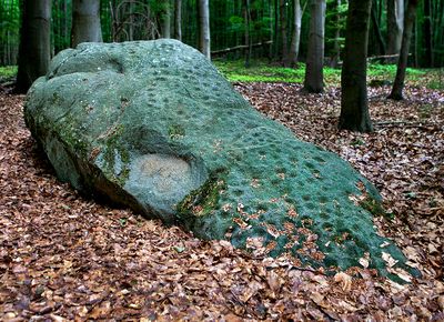
Schalenstein im Staatsforst Schieder
Schalenstein im Staatsforst Schieder, archäologische Stätte in Deutschland
Location: Schieder-Schwalenberg
GPS coordinates: 51.89519,9.13233
Latest update: March 2, 2025 23:24
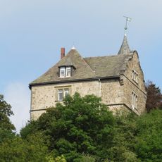
Burg Schwalenberg
5.1 km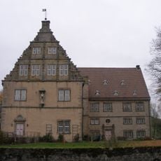
Schloss Thienhausen
5.1 km
Schloss Schieder
2.6 km
Schloss Wöbbel
2.2 km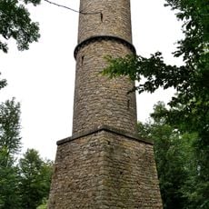
Kahlenbergturm
3.2 km
St. Marien
4.2 km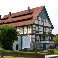
Papiermühle Plöger
1.9 km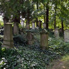
Jüdischer Friedhof Steinheim
4.8 km
St. Joseph
4.7 km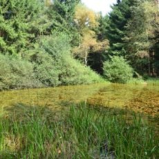
Schwalenberger Wald
2.1 km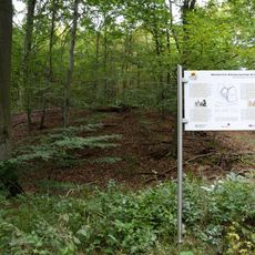
Alt-Schieder
2.8 km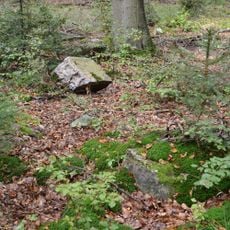
Rodenstatt
4.2 km
Nieseniederung mit Mündungsbereich
752 m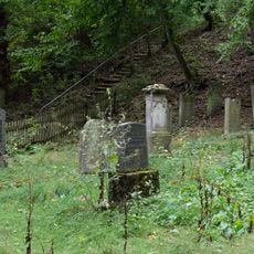
Jüdischer Friedhof
5.2 km
Evangelisch-reformierte Kirche Wöbbel
2.1 km
Rathaus Schwalenberg
4.9 km
Emmeroberlauf und Beberbach
4.5 km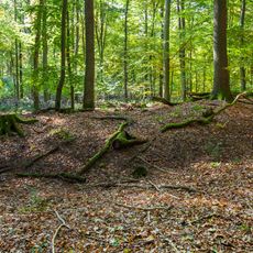
Siekholzer Schanze
3.8 km
Evangelische Kirche Steinheim
4.1 km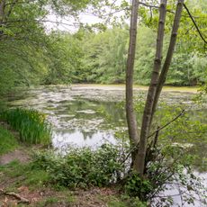
Teich bei Wöbbel
3 km
Evangelisch-reformierte Kirche Schwalenberg
4.8 km
LSG-Lipper Bergland mit Steinheimer Becken, Blomberger Hoehen, Sabbenhauser Mulde und Schwalenberger Hoehen
3.1 km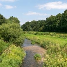
Emmeroberlauf und Beberbach
4.5 km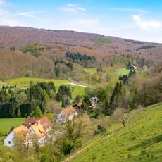
LSG-Burgberg
5 km
Teiche am Steinheimer Holz
1.4 km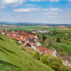
LSG-Lippebachtal
4.1 km
LSG-Napte bei Woebbel
2.9 km
LSG-Beller Holz und Niederbeller Bachtal
4.2 kmVisited this place? Tap the stars to rate it and share your experience / photos with the community! Try now! You can cancel it anytime.
Discover hidden gems everywhere you go!
From secret cafés to breathtaking viewpoints, skip the crowded tourist spots and find places that match your style. Our app makes it easy with voice search, smart filtering, route optimization, and insider tips from travelers worldwide. Download now for the complete mobile experience.

A unique approach to discovering new places❞
— Le Figaro
All the places worth exploring❞
— France Info
A tailor-made excursion in just a few clicks❞
— 20 Minutes