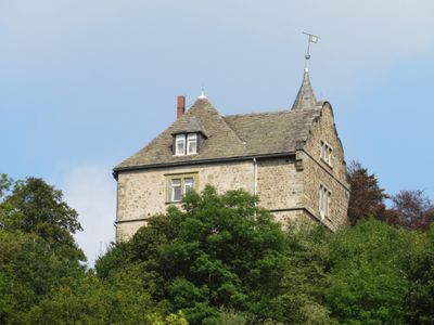
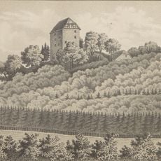
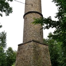
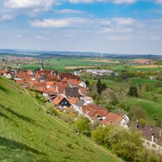
Burg Schwalenberg, Medieval castle in Schieder-Schwalenberg, Germany.
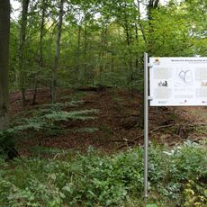
Burg Schwalenberg is a medieval fortress perched on a hilltop in Schieder-Schwalenberg with defensive towers and stone walls overlooking the surrounding valleys. The site contains various building ruins and structures that visitors can explore while walking through the grounds.
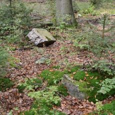
The fortress was built in the 13th century as a stronghold for a noble family seeking to control the trade routes and lands of the region. Over time it lost its military importance and suffered damage, yet its walls remain standing to this day.
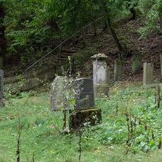
The castle was home to noble families whose influence shaped the region for centuries. Today visitors can see how the buildings were arranged and what role the site held in the lives of people living nearby.
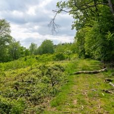
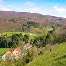
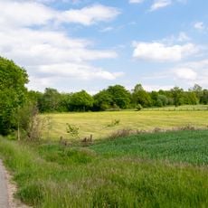
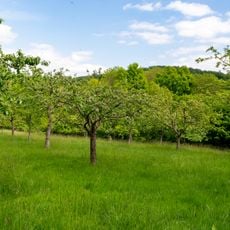
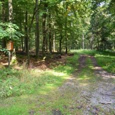
The site is accessible via marked walking trails that lead to the castle grounds and viewpoints offering views across the surrounding landscape. The best time to visit is on clear days when visibility is greatest and the walk is most pleasant.
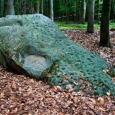
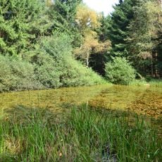
The castle grounds feature a medieval water pipe system that transported water across a considerable distance using minimal slope, creating an optical illusion of uphill flow. This engineering feat demonstrates the skill of builders from that era.
The community of curious travelers
AroundUs brings together thousands of curated places, local tips, and hidden gems, enriched daily by 60,000 contributors worldwide.