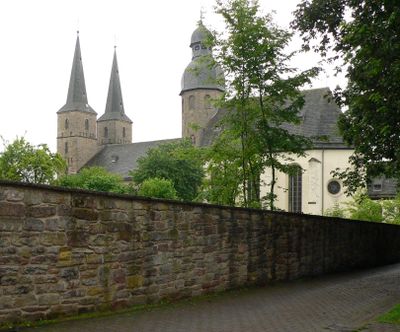
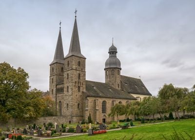
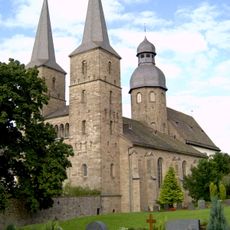
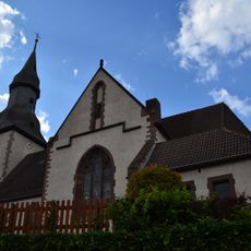
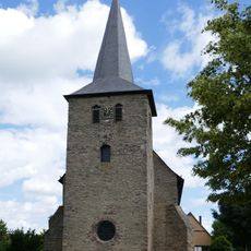
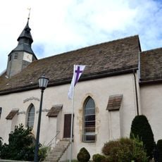
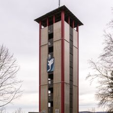
Marienmünster abbey, Benedictine monastery in Marienmünster, North Rhine-Westphalia, Germany.
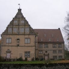
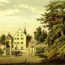
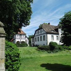
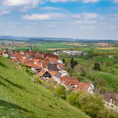
Marienmünster abbey is a monastery complex set in the landscape of Westphalia with a church building, cloister, and residential quarters arranged around courtyards. The structures combine different architectural layers from various periods, showing how the site has evolved over centuries.
The monastery was founded in 1128 and operated under Benedictine leadership until dissolution during Napoleonic secularization in 1810. A new religious community took over the site in 1965 and continued the monastic tradition under different monastic vows.
The name reflects deep devotion to Mary, which shapes the spiritual life of the community and is visible in how the church is arranged and how monks structure their daily practices. This Marian focus distinguishes the place from other monasteries in the region.
Visitors can explore the grounds during daylight hours and view the architecture, with some areas open to the public while others serve active community functions. It helps to check ahead about access to specific areas and whether services are happening, as this respects the daily rhythm of the monks.
The abbey underwent rebuilding work in the 1880s that refreshed parts of the complex while keeping its overall character intact. This balance between renewal and preservation becomes visible when you look closely at how different sections connect and fit together.
The community of curious travelers
AroundUs brings together thousands of curated places, local tips, and hidden gems, enriched daily by 60,000 contributors worldwide.