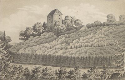
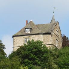
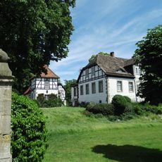
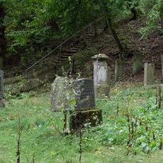
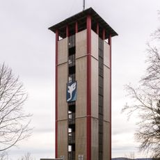
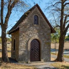
Oldenburg, Medieval castle in Marienmünster, Germany.
Oldenburg is a castle in Marienmünster with stone walls and structures dating back to the medieval period. The remains show typical features of fortified strongholds from that era, including solid ramparts and defensive elements.
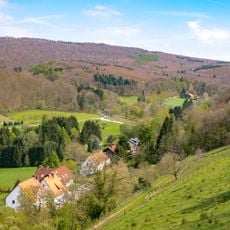
Construction began around 1100 as a strategic post controlling trade routes between Westphalia and neighboring regions. Over the centuries, the stronghold underwent changes in structure and purpose due to shifts in political control and regional conflicts.
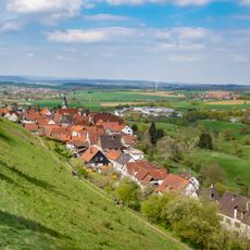
The castle served as a seat of power that shaped life in this region for centuries, influencing local governance and daily routines of inhabitants. Visitors can see how such fortified centers connected the ruling class to the communities they controlled.
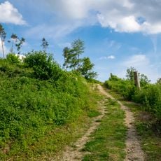
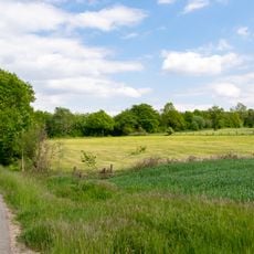
The site sits on elevated ground, allowing views across the surrounding landscape and making it visible from various approach points. Visitors should wear sturdy shoes as the terrain is uneven with steps and slopes throughout the grounds.
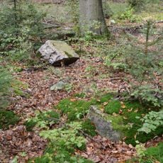
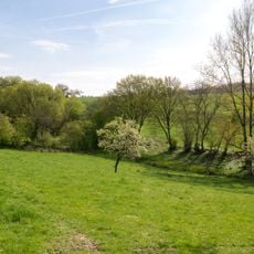
The site maintains its original defensive position on elevated terrain, demonstrating how medieval builders chose hard-to-reach locations. This allowed residents to spot approaching threats from great distances and better protect their settlement.
The community of curious travelers
AroundUs brings together thousands of curated places, local tips, and hidden gems, enriched daily by 60,000 contributors worldwide.