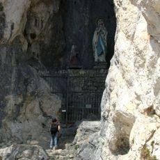
Salober, Summit in Füssen, Germany.
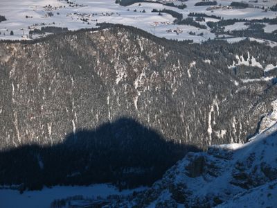
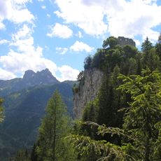
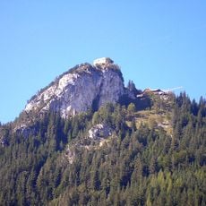
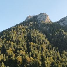
Salober is a 1293 meter high mountain and forms the highest point of the Falkensteinkamm ridge between Füssen and Pfronten. The massif features forested slopes that open into meadows near the summit.
The name Salober derives from the Latin word salūber, evolving over time from the older designation Zaluber. The alternative name Zwölferkopf references the mountain's noon-time positioning relative to the surrounding landscape.
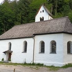
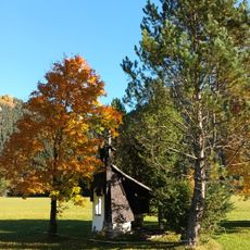
The Salober Alm mountain hut maintains traditional Alpine customs by serving regional meals and operating without modern payment systems.
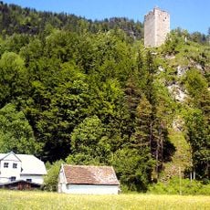
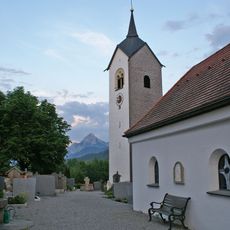
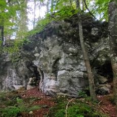
The marked trail from Falkenstein ruins to the summit is part of the Via Alpina long-distance route. The hike passes through forest and meadows with adequate water sources and rest spots along the way.
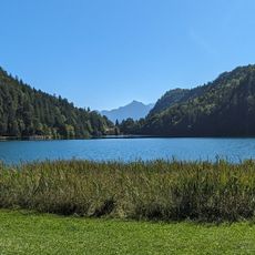
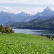
From the top you can see four lakes at once: Weißensee, Hopfensee, Forggensee, and Bannwaldsee spread across the landscape below. The summit marks the border between Bavaria and Tyrol, offering a view that spans two regions simultaneously.
Elevation above the sea: 1,293 m
Part of: Zirmgrat
GPS coordinates: 47.56543,10.61328
Latest update: December 14, 2025 20:31
Alatsee
2 km
Falkenstein Castle
1.7 km
Vilsegg Castle
1.4 km
Falkenstein
1.7 km
St. Nikolaus (Oberkirch, Füssen)
1.3 km
Stadtpfarrkirche Mariae Himmelfahrt, Vils
2.2 km
St. Walburga (Weißensee, Füssen)
2.1 km
Zwölferkopf
629 m
Filialkirche hl. Anna, Vils
1.4 km
Mariengrotte Ruine Falkenstein bei Pfronten
1.7 km
Katholische Pfarrkirche St. Walburga
2.1 km
Schutz von Landschaftsteilen im Bereich der Stadt Füssen und der Gemeinden Weissensee, Eisenberg und Pfronten im Landkreis Füssen
1.4 km
Archaeological heritage D-7-8429-0020 in Füssen
600 m
Schönbichlkapelle
1.5 km
Wayside cross Fallweg (eastern end)
2 km
Hausfigur
1.8 km
St. Anna Schmiede, Vils
1.4 km
Wayside cross Fallweg
1.9 km
Bauernhaus
1.7 km
Former Mesnerhaus, Vils
2.2 km
Zirmengrotte
657 m
Wayside cross Hammerschmiede
1.4 km
Wegkreuz Ländestraße
2.1 km
Angerwieskapelle
1.9 km
Stadel
1.9 km
Ehemaliges Mesnerhaus
2.2 km
Wayside cross Fallweg (western end)
2.2 km
Einerkopf
941 mVisited this place? Tap the stars to rate it and share your experience / photos with the community! Try now! You can cancel it anytime.
Discover hidden gems everywhere you go!
From secret cafés to breathtaking viewpoints, skip the crowded tourist spots and find places that match your style. Our app makes it easy with voice search, smart filtering, route optimization, and insider tips from travelers worldwide. Download now for the complete mobile experience.
A unique approach to discovering new places❞
— Le Figaro
All the places worth exploring❞
— France Info
A tailor-made excursion in just a few clicks❞
— 20 Minutes