
Röthenbach West, statistischer Bezirk von Nürnberg
Location: Nuremberg
Shares border with: Gebersdorf
GPS coordinates: 49.42017,11.01834
Latest update: March 25, 2025 10:00

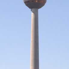
Fernmeldeturm Nürnberg
1.6 km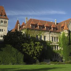
Faber-Castell-Schloss
371 m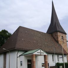
Gebersdorf
1.3 km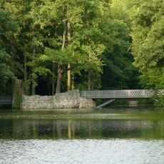
Faber Park
898 m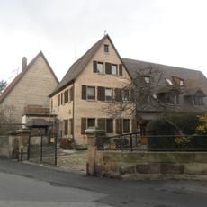
Großreuth bei Schweinau
1.5 km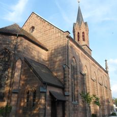
Martin-Luther-Kirche
687 m
Röthenbach Ost
1.4 km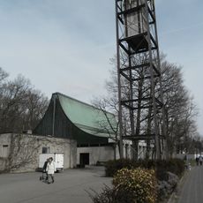
Maria am Hauch
549 m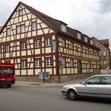
Heimatmuseum Stein (Mittelfranken)
496 m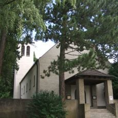
St. Stephanus
1.3 km
Ehemalige Kirche der evangelisch-reformierten Gemeinde Nürnberg
568 m
Bleistiftfabrik A. W. Faber-Castell
491 m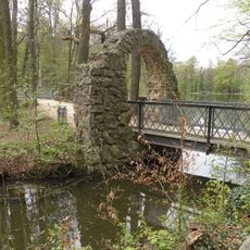
Brücke Nähe Rednitzstraße in Nürnberg
824 m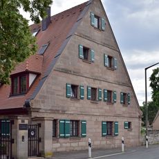
Wohnstallhaus
1.6 km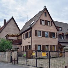
Hofanlage
1.6 km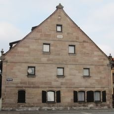
Ehemaliges Bauernhaus
1.2 km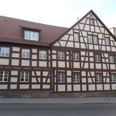
Mühlstrasse 1
501 m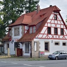
Ehemaliges Zollhaus
522 m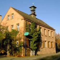
Ehemaliges Schulhaus
1.1 km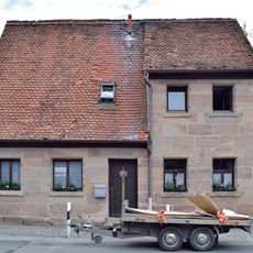
Ehemaliges Tagelöhnerhaus
1.6 km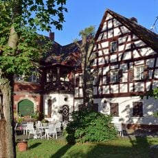
Gasthaus Voit
823 m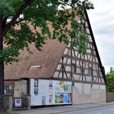
Wohnhaus
786 m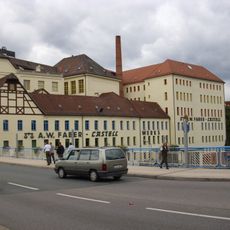
Alte Bleimühle, Industriebau der Firma A. W. Faber-Castell
460 m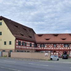
Ehemaliger Bauernhof
754 m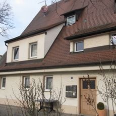
Ehemaliges Wohnstallhaus
1.2 km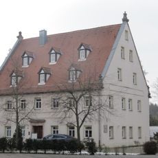
Ehemaliges Gasthaus
1.2 km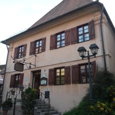
Ehemaliges Spital
543 m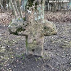
Steinkreuz Nikodemuskirche
1 kmVisited this place? Tap the stars to rate it and share your experience / photos with the community! Try now! You can cancel it anytime.
Discover hidden gems everywhere you go!
From secret cafés to breathtaking viewpoints, skip the crowded tourist spots and find places that match your style. Our app makes it easy with voice search, smart filtering, route optimization, and insider tips from travelers worldwide. Download now for the complete mobile experience.

A unique approach to discovering new places❞
— Le Figaro
All the places worth exploring❞
— France Info
A tailor-made excursion in just a few clicks❞
— 20 Minutes