
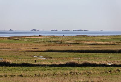
Amrum, protected landscape area on the island Amrum, Schleswig-Holstein, Germany
Location: Nordfriesland district
Inception: 1977
GPS coordinates: 54.64889,8.36028
Latest update: March 3, 2025 02:16
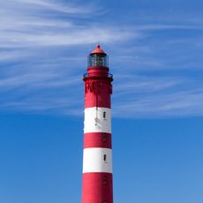
Amrum Lighthouse
2 km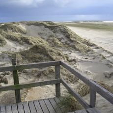
Knipsand
2.6 km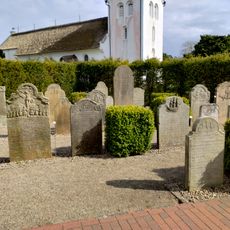
Talking Gravestones of Amrum
584 m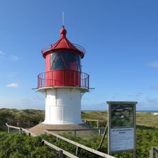
Leuchtturm Norddorf
4 km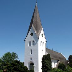
Saint Clemens church
533 m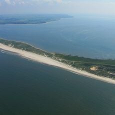
Nordspitze Amrum auf der Insel Amrum im Kreis Südtondern
5.7 km
Vogelkoje Meeram
2.8 km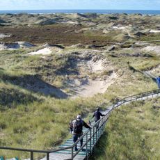
Amrumer Dünen
2.7 km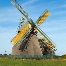
Amrum Mill
375 m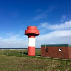
Nebel Lighthouse
401 m
Godel
7.4 km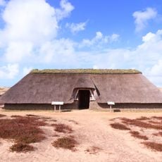
Reconstructed iron age house
3.2 km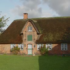
Öömrang Hüs
338 m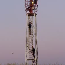
Wriakhörn Lighthouse
2.6 km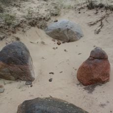
Dolmen of Nebel
3.3 km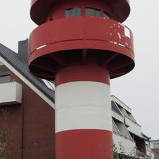
Leuchtturm Wittdün
3.3 km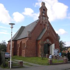
Kapelle
3.1 km
Rütergat
5.6 km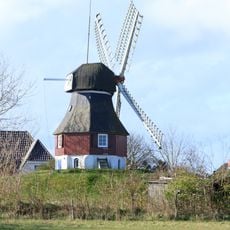
Bertha
614 m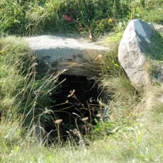
Großsteingrab Sunberig
7.7 km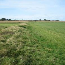
Krümwal
693 m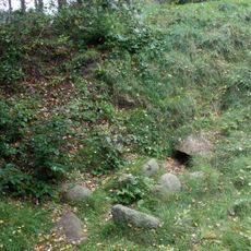
Dolmen Steenodde
1.7 km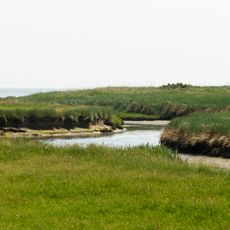
Godelniederung / Föhr
7.3 km
Küsten- und Dünenlandschaften Amrums
1.6 km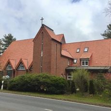
St. Elisabeth
3.5 km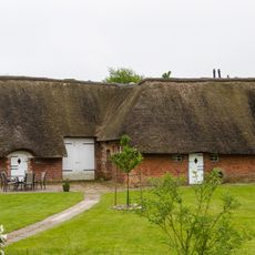
Residential and farm building
8 km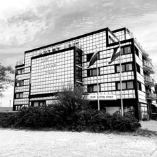
Zur alten Post (Amrum)
3.4 km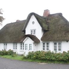
Friesenhaus
3.8 kmReviews
Visited this place? Tap the stars to rate it and share your experience / photos with the community! Try now! You can cancel it anytime.
Discover hidden gems everywhere you go!
From secret cafés to breathtaking viewpoints, skip the crowded tourist spots and find places that match your style. Our app makes it easy with voice search, smart filtering, route optimization, and insider tips from travelers worldwide. Download now for the complete mobile experience.

A unique approach to discovering new places❞
— Le Figaro
All the places worth exploring❞
— France Info
A tailor-made excursion in just a few clicks❞
— 20 Minutes