
Wilhelmshöhe, nature reserve in Lennestadt, North Rhine-Westphalia, Germany
Location: Lennestadt
Inception: 1981
GPS coordinates: 51.14623,8.01803
Latest update: May 1, 2025 16:28
Ahausen
4.5 km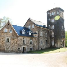
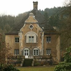
Haus Bamenohl
2.8 km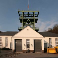
Bergbaumuseum Siciliaschacht
3.7 km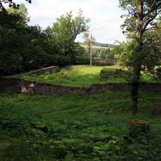
Peperburg
600 m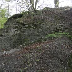
Burg Borghausen
1.5 km
St. Joseph (Bamenohl)
3 km
Wallanlage Weilenscheid
2.1 km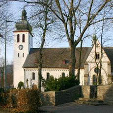
St. Jakobus d. Ä., Elspe
3 km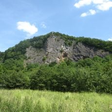
Hohe Ley
3.7 km
Bamenohl power station
2.6 km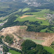
Steinbruch Grevenbrück
489 m
Saint Nicholas Church
1.8 km
St. Bartholomäus Meggen
4.3 km
St. Antonius Einsiedler
4.7 km
Wallburg Kahle
4.9 km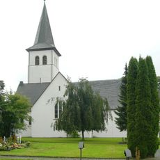
St. Martin
3.2 km
Saint Vitus Chapel
2 km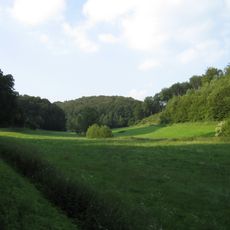
Melbecke und Rübenkamp
1.7 km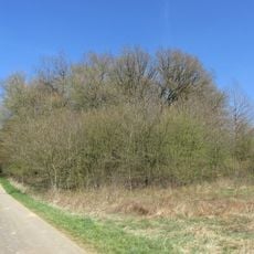
Wunderwäldchen
1.4 km
St. Agatha
3.5 km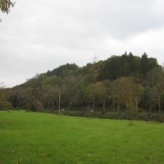
Naturschutzgebiet Muttersteinhöhle
4.6 km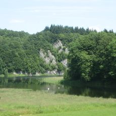
Ahauser Klippen und Stausee
4.9 km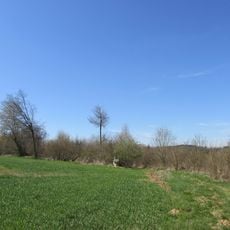
Naturschutzgebiet Breiter Hagen
832 m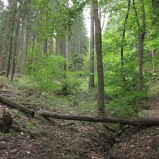
Bilstein/Rosenberg
5 km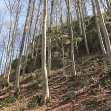
Naturschutzgebiet Breiter Hagen
1.3 km
Evangelische Kirche Grevenbrück
545 m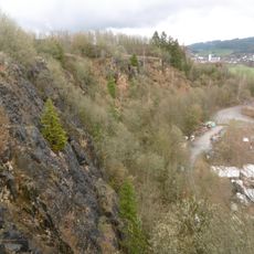
Steinbruch Fretter
4.9 km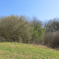
Wunderwäldchen
1.5 kmReviews
Visited this place? Tap the stars to rate it and share your experience / photos with the community! Try now! You can cancel it anytime.
Discover hidden gems everywhere you go!
From secret cafés to breathtaking viewpoints, skip the crowded tourist spots and find places that match your style. Our app makes it easy with voice search, smart filtering, route optimization, and insider tips from travelers worldwide. Download now for the complete mobile experience.

A unique approach to discovering new places❞
— Le Figaro
All the places worth exploring❞
— France Info
A tailor-made excursion in just a few clicks❞
— 20 Minutes