
Brandoberndorf, human settlement in Germany
Location: Waldsolms
Elevation above the sea: 247 m
GPS coordinates: 50.43306,8.50000
Latest update: March 9, 2025 02:18
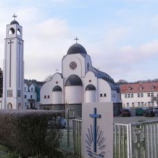
Kröffelbach Monastery
2.9 km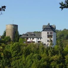
Burg Cleeberg
4.5 km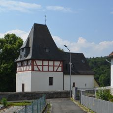
Evangelische Kirche Kröffelbach
2.5 km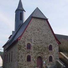
Evangelische Kirche Cleeberg
4.6 km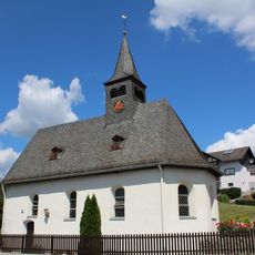
Kirche Oberquembach
4 km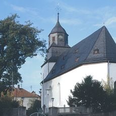
Evangelische Pfarrkirche Brandoberndorf
376 m
Evangelische Kirche (Kraftsolms)
4.1 km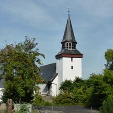
Evangelische Kirche (Griedelbach)
2.1 km
Köhlerberg (Taunus)
4.1 km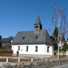
Evangelische Pfarrkirche
4 km
Evangelische Kirche
4.4 km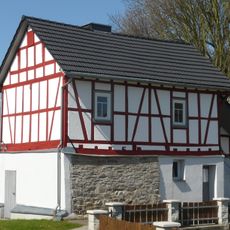
Backhaus Oberquembach
3.9 km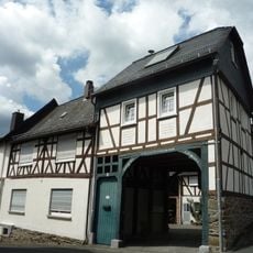
Kirchstraße 5
2.4 km
Wehrstraße 3
4 km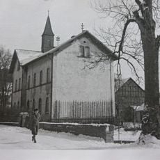
Ehemalige Schule
4.1 km
Am Berg 5
4.5 km
Denkmalsweg 6
4.5 km
Aulbachstraße 31
4.5 km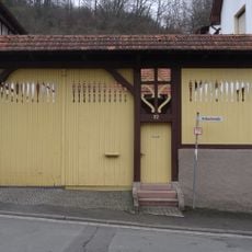
Aulbachstraße 32
4.4 km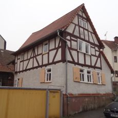
Aulbachstraße 35
4.4 km
Wasserbehälter
4.5 km
Aulbachstraße 28
4.5 km
Denkmalsweg 8
4.5 km
Denkmalsweg 10
4.5 km
Obere Pforte 3
4.5 km
Schlossstraße 8
4.5 km
Gesamtanlage historischer Ortskern
4.5 km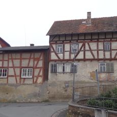
Am Berg 1
4.6 kmVisited this place? Tap the stars to rate it and share your experience / photos with the community! Try now! You can cancel it anytime.
Discover hidden gems everywhere you go!
From secret cafés to breathtaking viewpoints, skip the crowded tourist spots and find places that match your style. Our app makes it easy with voice search, smart filtering, route optimization, and insider tips from travelers worldwide. Download now for the complete mobile experience.

A unique approach to discovering new places❞
— Le Figaro
All the places worth exploring❞
— France Info
A tailor-made excursion in just a few clicks❞
— 20 Minutes