
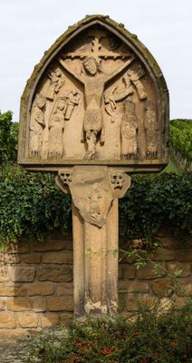
Wayside Shrine am Grain, crucifixion group with the holy Katharina and Barbara, sandstone, at the side two small penitence crosses, 15th or 16th century
Website: http://suehnekreuz.de/rhein/deidesheim.htm#2
GPS coordinates: 49.41068,8.18529
Latest update: March 6, 2025 13:20
Weinstraße 29
358 m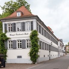
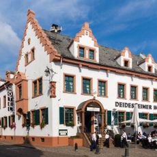
Weingut Reichsrat von Buhl
147 m
Weingut von Winning
61 m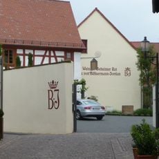
Weingut Geheimer Rat Dr. von Bassermann-Jordan
281 m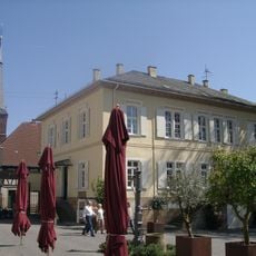
Ketschauer Hof
310 m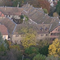
Schloss Deidesheim
349 m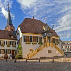
Historisches Rathaus (Deidesheim)
342 m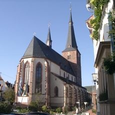
St. Ulrich
342 m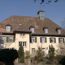
Spital
444 m
Weinstraße 5
223 m
Weinstraße 21
218 m
Deidesheimer Stadtbefestigung
363 m
Deutsches Film- und Fototechnik Museum
383 m
Synagoge
401 m
Beinhaus
334 m
Museum für Weinkultur
345 m
Andreasbrunnen
332 m
Protestantische Kirche (Deidesheim)
410 m
Home and restaurant ‘Zur Kanne’
377 m
Altes Zollhäuschen
64 m
Weinstraße 40
384 m
Weinstraße 60 (Deidesheim)
504 m
Weinstraße 34
269 m
Weinstraße 47
442 m
Weinstraße 32 (Deidesheim)
249 m
Weinstraße 14
118 m
Weinstraße 23 (Deidesheim)
248 m
Heumarktstraße
350 mReviews
Visited this place? Tap the stars to rate it and share your experience / photos with the community! Try now! You can cancel it anytime.
Discover hidden gems everywhere you go!
From secret cafés to breathtaking viewpoints, skip the crowded tourist spots and find places that match your style. Our app makes it easy with voice search, smart filtering, route optimization, and insider tips from travelers worldwide. Download now for the complete mobile experience.

A unique approach to discovering new places❞
— Le Figaro
All the places worth exploring❞
— France Info
A tailor-made excursion in just a few clicks❞
— 20 Minutes