
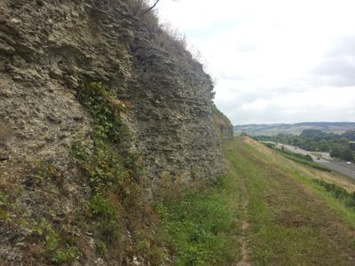
Bad Mergentheim, protected landscape area in Baden-Württemberg, Germany
Location: Bad Mergentheim
Inception: 1982
GPS coordinates: 49.45598,9.77634
Latest update: March 3, 2025 10:47
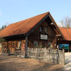
Bad Mergentheim Wildlife Park
2 km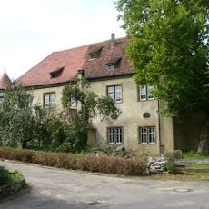
Schloss Wachbach
1.6 km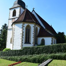
Church of the Coronation of Mary, Stuppach
2.4 km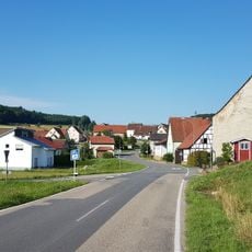
Lustbronn
3.6 km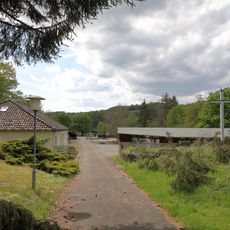
Willinger Tal
1.1 km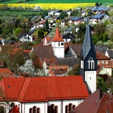
St. Georg
1.8 km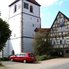
Evangelische Kirche
1.6 km
Drillberg
3.3 km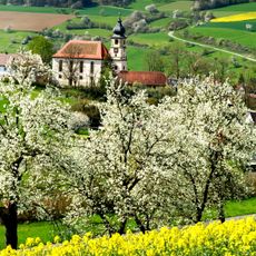
Jodokuskirche Althausen
2.7 km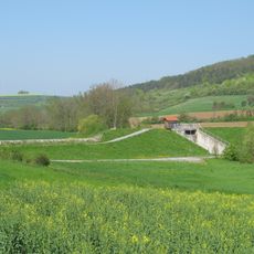
Hochwasserrückhaltebecken Wachbach
2.8 km
Speierling Kitzberg Vorderer Kitzberg
3.1 km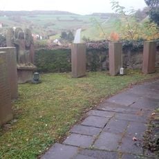
Kriegerdenkmal
2.4 km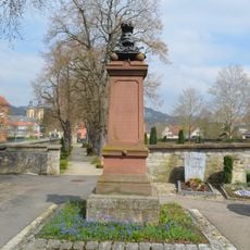
Memorial of the Austro-Prussian War in Bad Mergentheim
3.6 km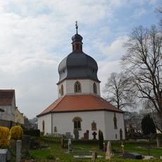
St. Michael Kapelle Bad Mergentheim
3.5 km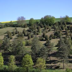
Bestand an Wacholder, Fliegenwurz, Helmknabenkraut im Gewann „Neuen Berg“
3.2 km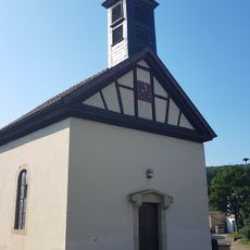
Kapelle
3.6 km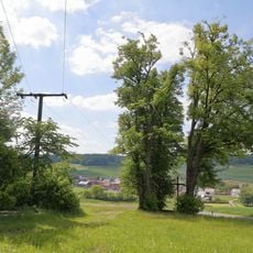
3 Linden im Gewann „Spatzenklinge“
3.2 km
Küchenschellenstandort im Gewann Mittleres Tal
2.7 km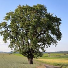
1 Birnbaum im Gewann „Neunmorgenäcker“
2.2 km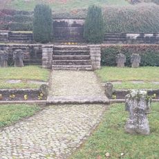
Kriegerdenkmal
2.4 km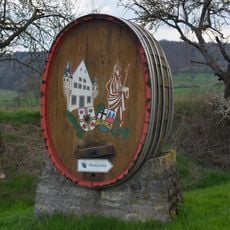
Weinlehrpfad Markelsheim
3.5 km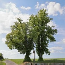
2 Linden im Gewann „Heiligenrain“
2.7 km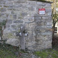
Sühnekreuz Bad Mergentheim IX
2.7 km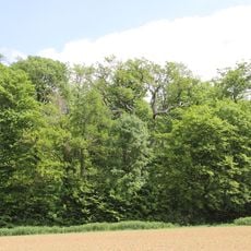
Eiche im Gewann „Roggenberg“
2.8 km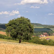
1 Birnbaum im Gewann „Höheäcker“
2 km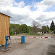
Campingplatz Bad Mergentheim
994 m
Feldahorn im Gewann Drillberg, Vorderes Wolfental
3.1 km
Bergahorn Willinger Tal
948 mReviews
Visited this place? Tap the stars to rate it and share your experience / photos with the community! Try now! You can cancel it anytime.
Discover hidden gems everywhere you go!
From secret cafés to breathtaking viewpoints, skip the crowded tourist spots and find places that match your style. Our app makes it easy with voice search, smart filtering, route optimization, and insider tips from travelers worldwide. Download now for the complete mobile experience.

A unique approach to discovering new places❞
— Le Figaro
All the places worth exploring❞
— France Info
A tailor-made excursion in just a few clicks❞
— 20 Minutes