
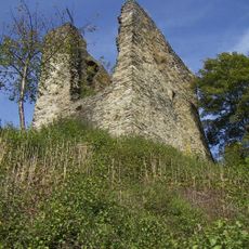
Holder Knipp, hill in Germany
Location: North Rhine-Westphalia
GPS coordinates: 50.56174,6.31415
Latest update: April 12, 2025 09:10
Haller
5.2 km
Kunst- und Kulturzentrum der StädteRegion Aachen
5 km
Rurtal mit den Felsbildungen der Uhusley
2.5 km
Musik-Museum Beeskow
3.7 km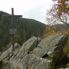
Alsdorfer Bergmannskreuz
1.6 km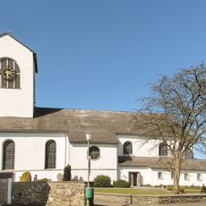
Saint John the Baptist Church (Simmerath)
5.1 km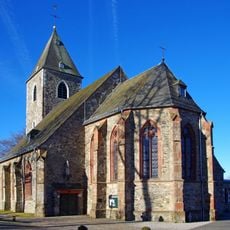
St. Peter (Konzen)
5.1 km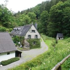
Belgenbacher Mühle
2.5 km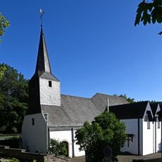
St. Michael
3.8 km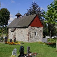
Pankratiuskapelle (Konzen)
5.2 km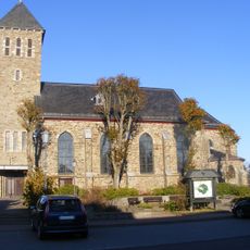
Saints Peter and Paul Church (Kesternich)
5.2 km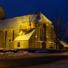
St. Cornelius
2.6 km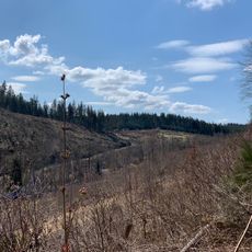
Wüstebachtal
4.8 km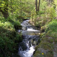
Tiefenbachtal bei Simmerath mit Nebenbächen
3.9 km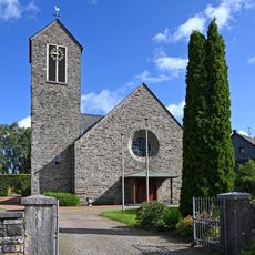
St. Lucia
2.1 km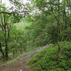
Buchenwald Dedenborn
2.9 km
St. Bartholomäus
835 m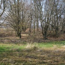
Meyssenburg
3.2 km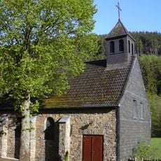
St. Hubertus
3.4 km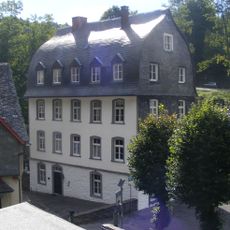
Elberssches Kontorhaus
4.9 km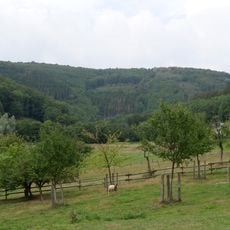
Erkensruhrtal mit Nebenbächen und Felsen am Oberseeufer
3.9 km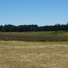
Quellwiesen Steckelbüchel
3.6 km
Heckenlandschaft südlich Kesternich
4.6 km
LSG-Hirschrotter und Erkensruhrer Tal
3.1 km
LSG-Wald zwischen Erkensruh und Truppenuebungsplatz Vogelsang
3.5 km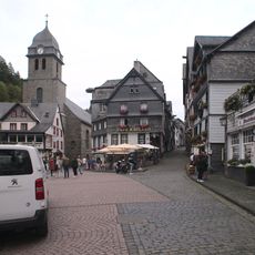
Aukirche St. Mariä Empfängnis
5.1 km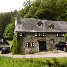
Belgenbachtal mit Seilfertsief, Drossel-und Holzbachtal
3.7 km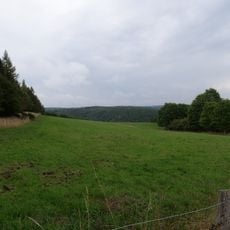
LSG-Leykaul
3.8 kmReviews
Visited this place? Tap the stars to rate it and share your experience / photos with the community! Try now! You can cancel it anytime.
Discover hidden gems everywhere you go!
From secret cafés to breathtaking viewpoints, skip the crowded tourist spots and find places that match your style. Our app makes it easy with voice search, smart filtering, route optimization, and insider tips from travelers worldwide. Download now for the complete mobile experience.

A unique approach to discovering new places❞
— Le Figaro
All the places worth exploring❞
— France Info
A tailor-made excursion in just a few clicks❞
— 20 Minutes