
Wackelser Fels, Berg in Rheinland-Pfalz
Location: Rhineland-Palatinate
GPS coordinates: 49.53753,6.61309
Latest update: March 15, 2025 05:25
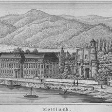
Mettlach abbey
5 km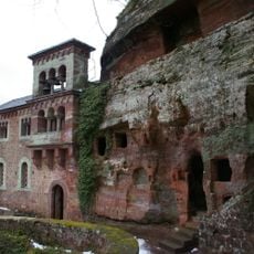
Klause Kastel
4.6 km
St. Joseph
4.9 km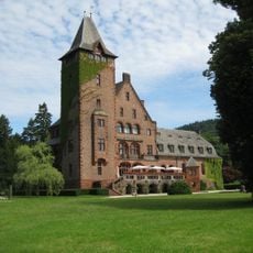
Schloss Saareck
4.8 km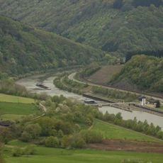
Staustufe Serrig
3.6 km
Keramikmuseum Mettlach
5.1 km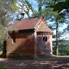
Lutwinuskapelle
4.3 km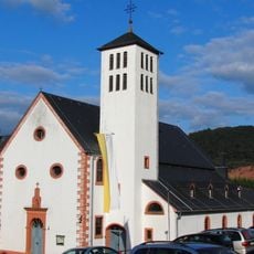
Quiriacus and Auctor Church
1.5 km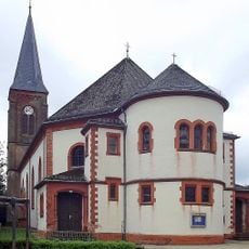
St. Wendalinus
5 km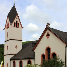
St. Antonius
2.5 km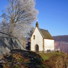
St.-Michaels-Kapelle (Taben-Rodt)
1.4 km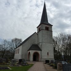
St. Johannes der Täufer (Kastel-Staadt)
4.5 km
Steilhänge der Saar
4.2 km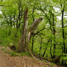
Saarsteilhänge am Kaiserweg (rheinland-pfälzischer Teil)
1.2 km
Naturschutzgebiet "Saarhölzbachtal - Zunkelsbruch" (N 6405-302)
2.8 km
St. Fabian und Sebastian
3.1 km
Saarhölzbachpfad
2.7 km
Saarschleife und Leukbachtal
5 km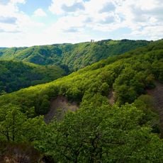
Saar-Steilhänge/Lutwinuswald
3.5 km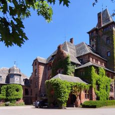
Park Schloss Saareck bei Mettlach-Keuchingen
4.8 km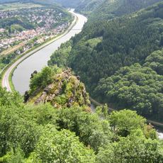
Vogelfelsen
1.6 km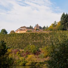
Weingut Würtzberg
3.8 km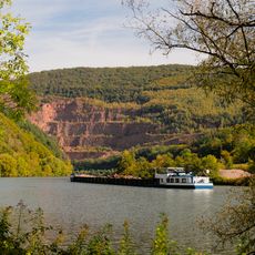
Steinbruch Taben
1.2 km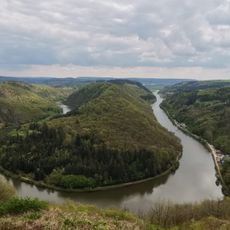
Steilhänge der Saar
3.5 km
Aussichtspunkt Vogelfelsen
1.5 km
Panzbruch bei Greimerath
4.3 km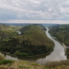
Steilhänge der Saar
4.6 km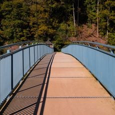
Fußgängerbrücke Saarhölzbach
2.5 kmReviews
Visited this place? Tap the stars to rate it and share your experience / photos with the community! Try now! You can cancel it anytime.
Discover hidden gems everywhere you go!
From secret cafés to breathtaking viewpoints, skip the crowded tourist spots and find places that match your style. Our app makes it easy with voice search, smart filtering, route optimization, and insider tips from travelers worldwide. Download now for the complete mobile experience.

A unique approach to discovering new places❞
— Le Figaro
All the places worth exploring❞
— France Info
A tailor-made excursion in just a few clicks❞
— 20 Minutes