Meuchelberg, Summit in Heimbach, Germany.
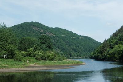
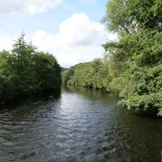
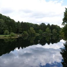
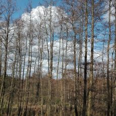
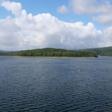
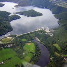
Meuchelberg is a summit in Heimbach reaching 313 meters in elevation and surrounded by dense forests with natural vegetation formations. Multiple hiking paths cross its wooded slopes, offering different routes through the landscape.
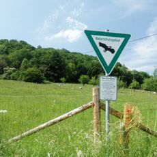
The southern slopes display characteristic shrubby oaks stemming from medieval forest management practices for timber production. This vegetation is a visible reminder of practices that shaped the region over centuries.
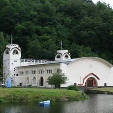
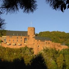
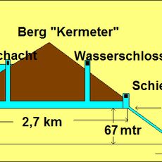
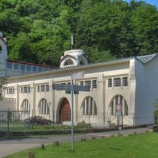
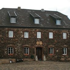
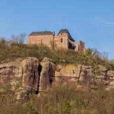
The hiking paths around this summit link natural spaces with historical sites like medieval Hengebach Castle and an old power station, which together reflect Heimbach's industrial and architectural heritage. Visitors experience how nature and human history are closely interwoven in this region.
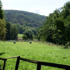
A circular route starting from the Parkplatz Über Rur parking area covers about 5 kilometers and takes roughly two hours to complete with 200 meters of elevation gain. The path is well-developed and suits regular hiking preparation.
At a strategic viewpoint stands the Eifel-Loop, a specially designed curved bench for two people overlooking the Eifel National Park region. This unusual seating arrangement is a gathering spot for hikers wanting to take in the broader view.
The community of curious travelers
AroundUs brings together thousands of curated places, local tips, and hidden gems, enriched daily by 60,000 contributors worldwide.