
Osterberg, hill near Bad Essen, Germany
Location: Lower Saxony
Location: Bad Essen
GPS coordinates: 52.31636,8.32305
Latest update: June 10, 2025 16:10

Schloss Ippenburg
3.7 km
Schelenburg
7.5 km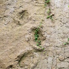
Dinosaurierfährten von Barkhausen
7.5 km
Schloss Hünnefeld
2.1 km
Gut Ostenwalde
8.3 km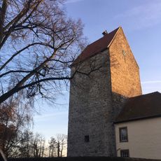
Burg Wittlage
3.5 km
Gut Langelage
7.9 km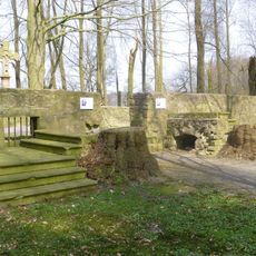
Gut Kaldenhof
5.4 km
Johanniskirche
5.3 km
St.-Nikolai-Kirche
1.2 km
Schloss Arenshorst
5.2 km
St. Lambertus
7.4 km
Obere Hunte
7.9 km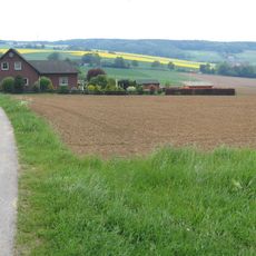
Schwarzer Brink
8.7 km
Sankt Johannes der Täufer, Bohmte
5.7 km
Katharinenkirche
7.3 km
St.-Thomas-Kirche
5.8 km
Sloopsteine von Haltern
8.3 km
Evangelische Laurentiuskirche
6.7 km
St. Marien
5.5 km
Marienkirche
8.6 km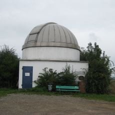
Sternwarte Melle
7.1 km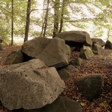
Großsteingräber bei Grambergen
3.2 km
Laurentius-Kirche
6.8 km
Holy Trinity Church
5.8 km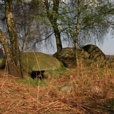
Großsteingräber bei Haaren
8.6 km
Freibad Bad Essen Thermalsole
1.2 km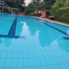
Waldbad Schledehausen
7.6 kmReviews
Visited this place? Tap the stars to rate it and share your experience / photos with the community! Try now! You can cancel it anytime.
Discover hidden gems everywhere you go!
From secret cafés to breathtaking viewpoints, skip the crowded tourist spots and find places that match your style. Our app makes it easy with voice search, smart filtering, route optimization, and insider tips from travelers worldwide. Download now for the complete mobile experience.

A unique approach to discovering new places❞
— Le Figaro
All the places worth exploring❞
— France Info
A tailor-made excursion in just a few clicks❞
— 20 Minutes