
Isselburg, human settlement in Germany
Location: North Rhine-Westphalia
Location: Isselburg
Elevation above the sea: 20 m
GPS coordinates: 51.83222,6.46417
Latest update: March 4, 2025 23:42
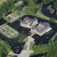
Burg Anholt
2.9 km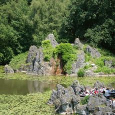
Anholter Schweiz
2.4 km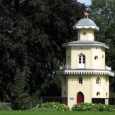
Huis Landfort, Megchelen
4.8 km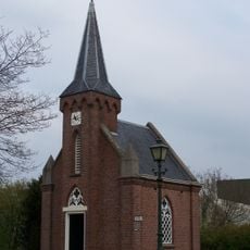
Kerkje "De Rietstap"
3 km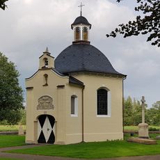
Princely Pantheon of Salm-Salm, Anholt
3.4 km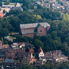
St. Pankratius
3 km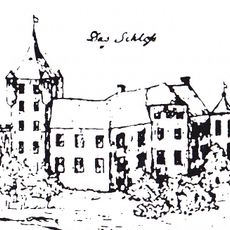
Burg Werth
3.6 km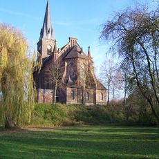
St. Peter und Paul
3.6 km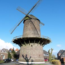
Turmwindmühle Werth
3.3 km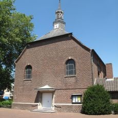
Saint Michael Church (Suderwick)
3.6 km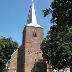
Hervormde kerk Dinxperlo
3.6 km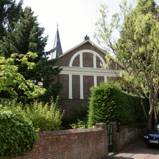
Evangelische Kirche Isselburg
316 m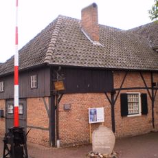
Grenslandmuseum
3.6 km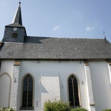
Evangelische Kirche Werth
3.5 km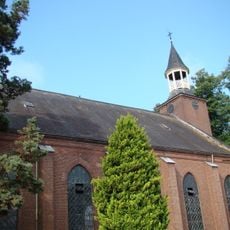
Cultuurkerk De Toekomst
4.7 km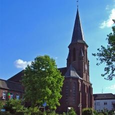
St. Bartholomäus
3 km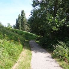
Brüggenhütte
2.6 km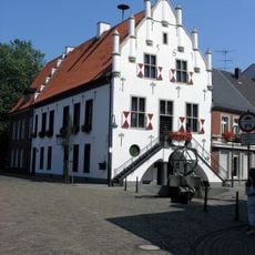
Rathaus Anholt
3 km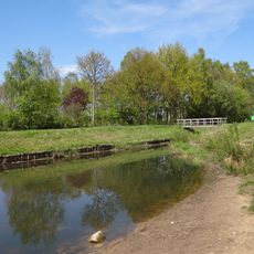
Welinkbos
4.7 km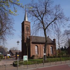
Evangelische Kirche
4 km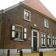
Raadhuisstraat 10, Dinxperlo
3.6 km
Heelden
3 km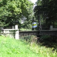
Landfort, toegangsbrug
4.8 km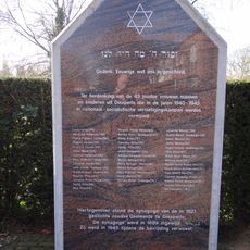
Joods monument
3.6 km
Landfort, ijzeren brug
4.8 km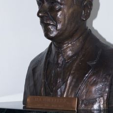
Monument voor 'Ome Jan'
3.6 km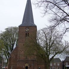
Toren Sint-Liboriuskerk
3.6 km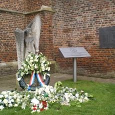
Bevrijdingsmonument
3.7 kmVisited this place? Tap the stars to rate it and share your experience / photos with the community! Try now! You can cancel it anytime.
Discover hidden gems everywhere you go!
From secret cafés to breathtaking viewpoints, skip the crowded tourist spots and find places that match your style. Our app makes it easy with voice search, smart filtering, route optimization, and insider tips from travelers worldwide. Download now for the complete mobile experience.

A unique approach to discovering new places❞
— Le Figaro
All the places worth exploring❞
— France Info
A tailor-made excursion in just a few clicks❞
— 20 Minutes