
Umgebung des Brettorfer Schlatts, protected landscape in Lower Saxony, Germany
Location: Oldenburg
Inception: 1976
GPS coordinates: 52.97850,8.45362
Latest update: May 19, 2025 12:16
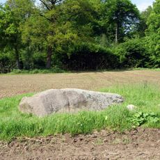
Hexenstein
4.9 km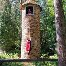
Wild- und Freizeitpark Ostrittrum
7.3 km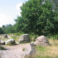
Glaner Braut
7.6 km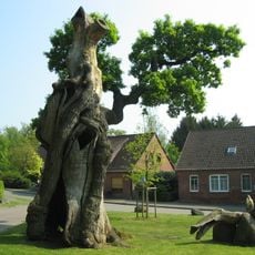
Dorfeiche Dötlingen
6.8 km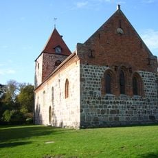
St. Firminus
7 km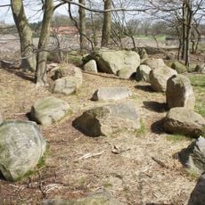
Megalithic stones of Steinkimmen
7.4 km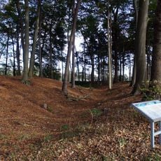
Heidenwall (Dehlthun)
6.1 km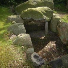
Großsteingrab Dötlingen
6.6 km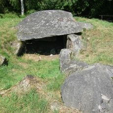
Steingrab Egypten
6.6 km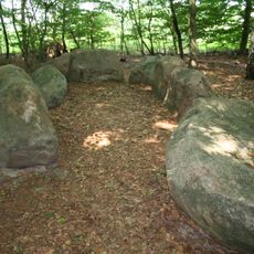
Großsteingrab Gerichtsstätte
5.7 km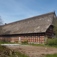
Tabkenhof
6.8 km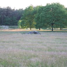
Glaner Heide
7.5 km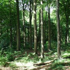
Hatter Holz
7 km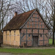
Backhäuser Am Heidenwall 9 und Bürsteler Straße 35
5.6 km
Sether Mühle
6.5 km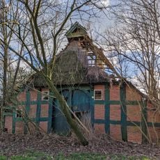
Wohn- und Wirtschaftsgebäude Zur Heide 11
5.7 km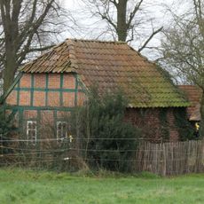
Hofanlage Bürsteler Straße 35
5.8 km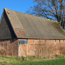
Scheune (Am Sportplatz)
6.8 km
Stühe
3.6 km
Birkenbusch
2.9 km
Geer Moor
5.8 km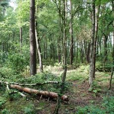
Das Moor
3 km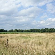
Delmetal
7.5 km
Welsetal und Stühe
5.5 km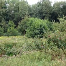
Tal des Altonaer Mühlenbaches und Bauernschaft Busch
6.2 km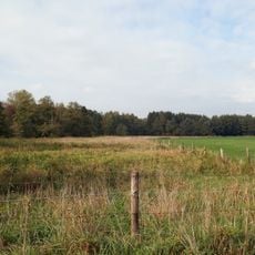
Südliches Delmetal
7.2 km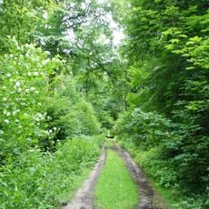
Dingsteder Gehäge, Twiestholz, Hatter Holz
6.7 km
Bürsteler Fuhren
6.7 kmReviews
Visited this place? Tap the stars to rate it and share your experience / photos with the community! Try now! You can cancel it anytime.
Discover hidden gems everywhere you go!
From secret cafés to breathtaking viewpoints, skip the crowded tourist spots and find places that match your style. Our app makes it easy with voice search, smart filtering, route optimization, and insider tips from travelers worldwide. Download now for the complete mobile experience.

A unique approach to discovering new places❞
— Le Figaro
All the places worth exploring❞
— France Info
A tailor-made excursion in just a few clicks❞
— 20 Minutes